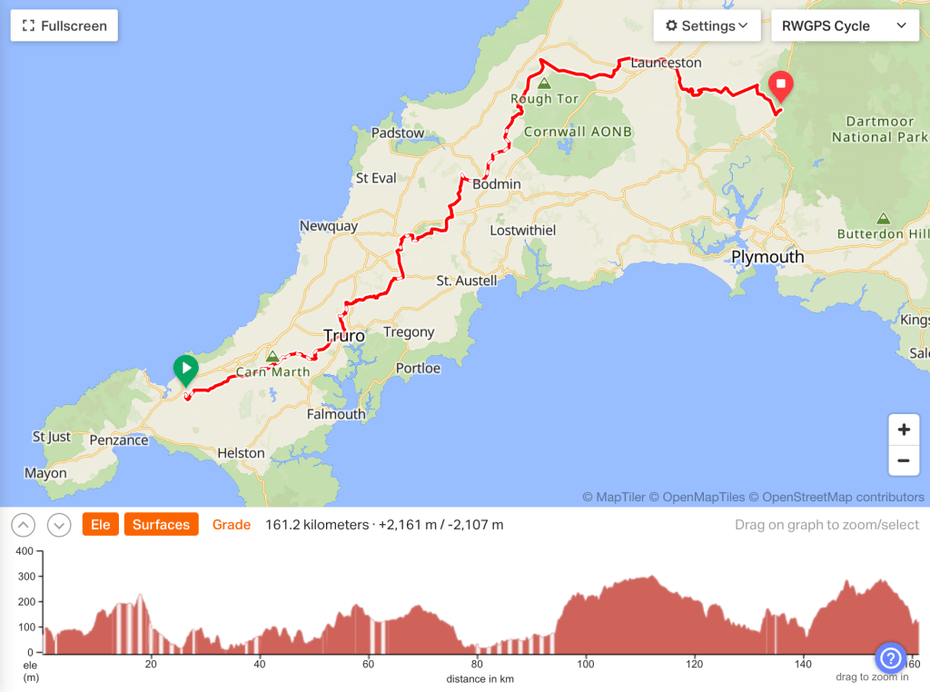
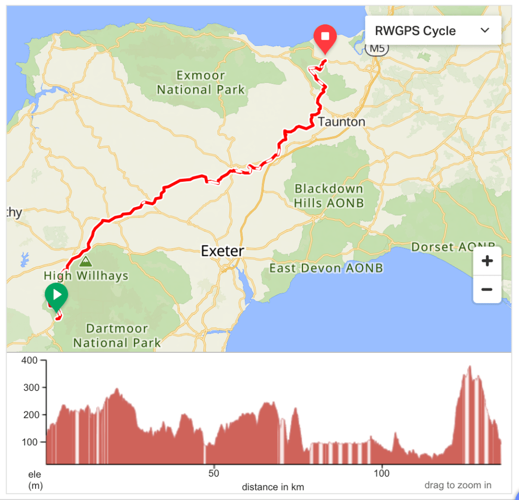
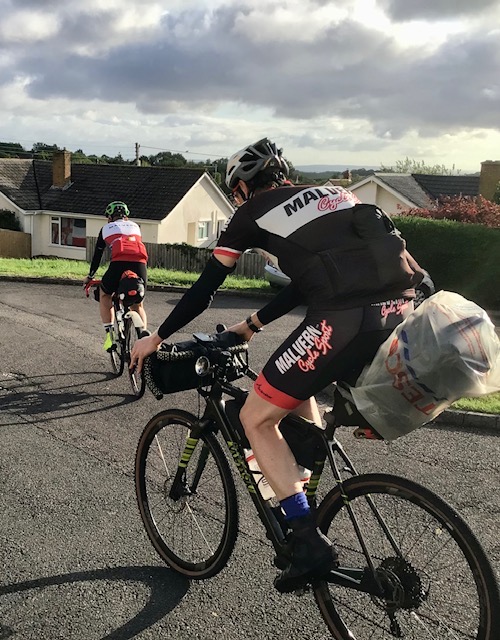
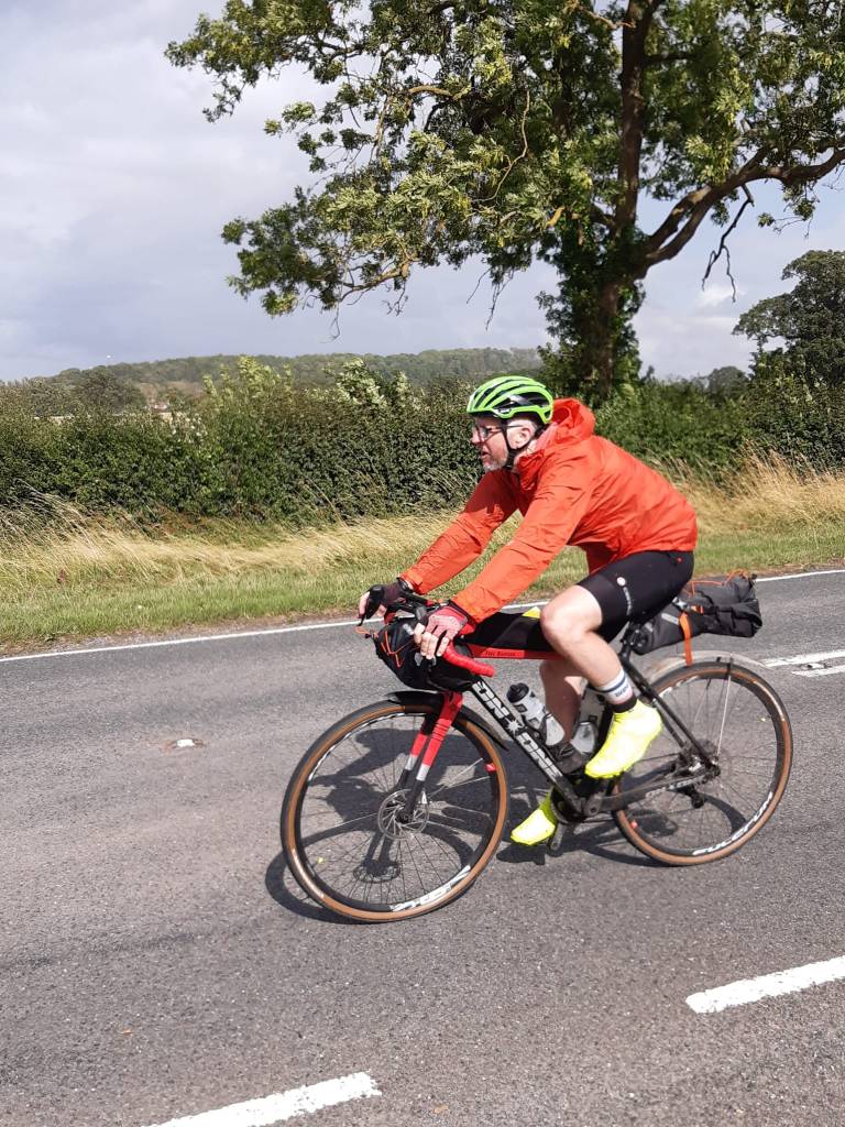
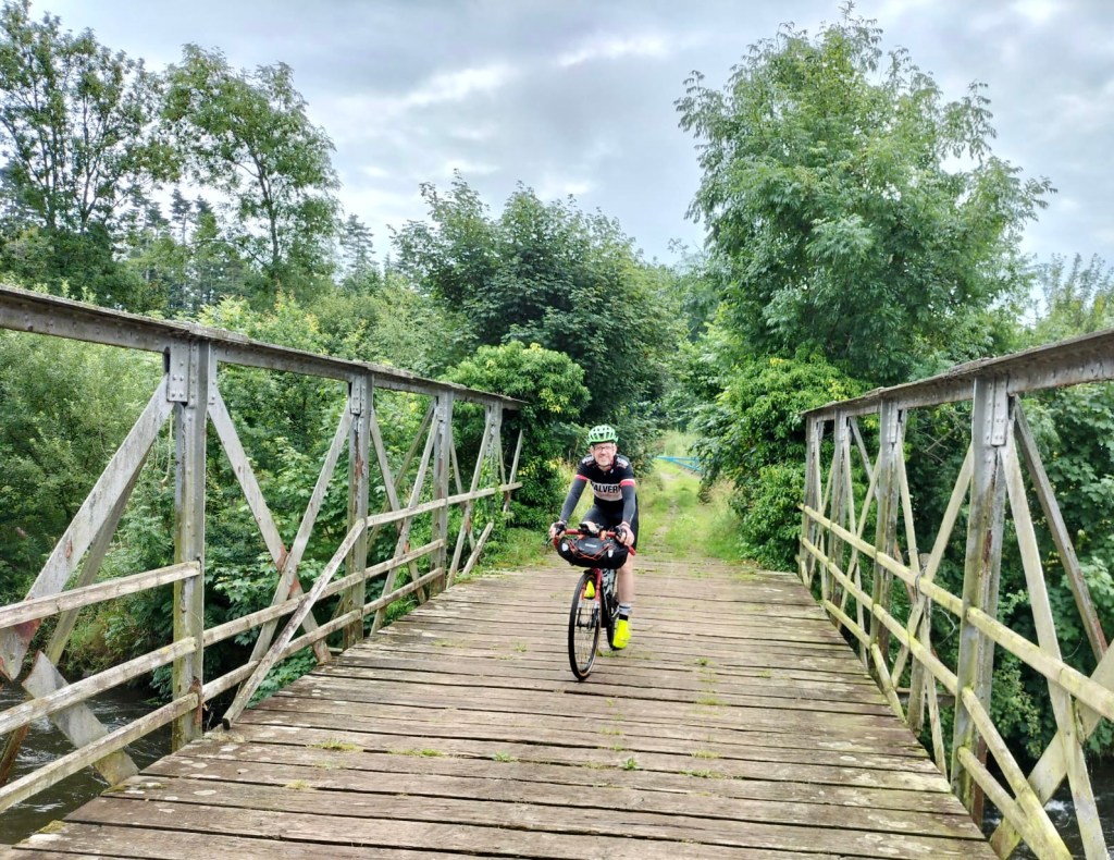
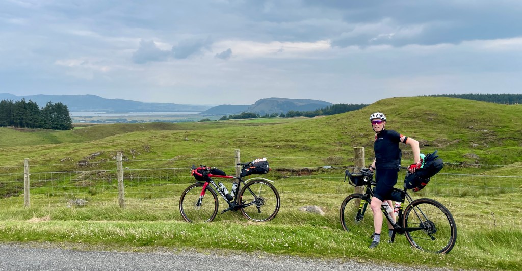
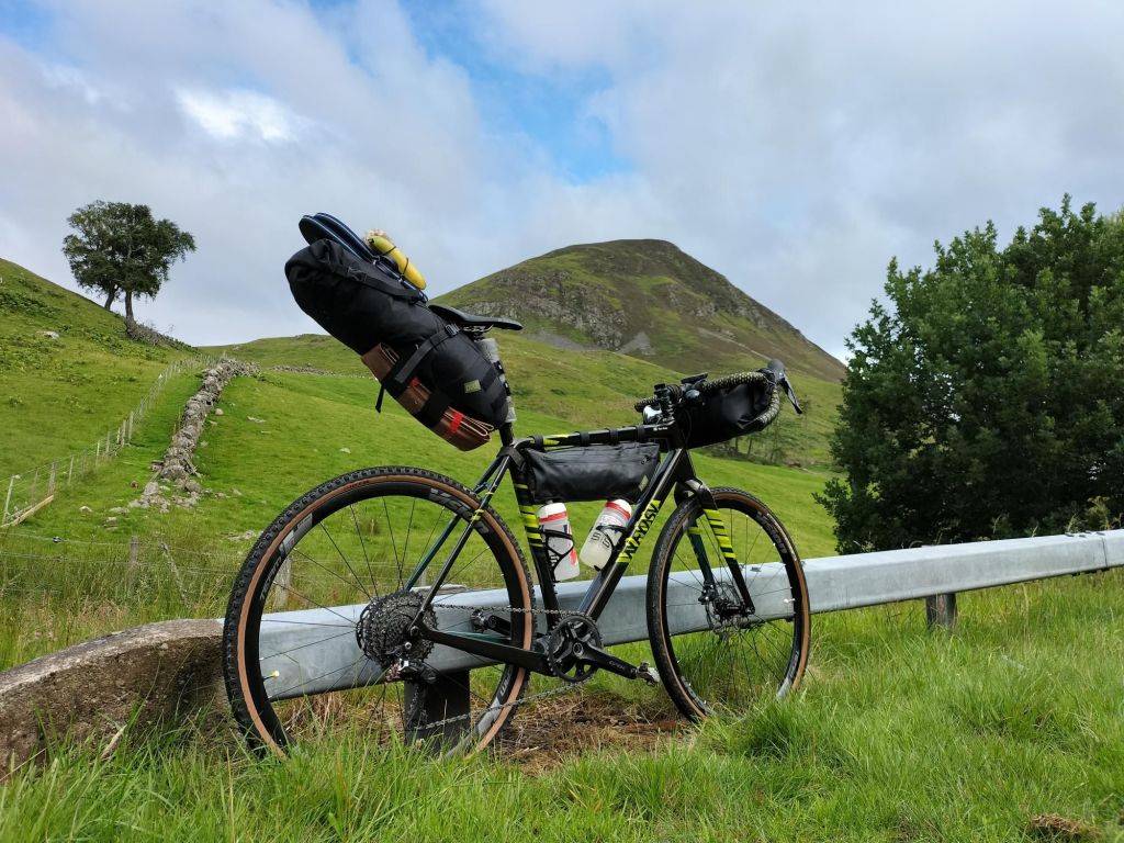
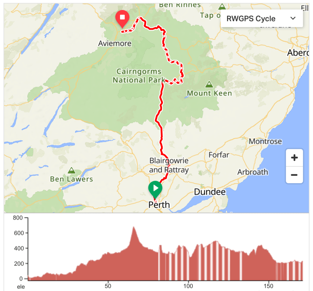
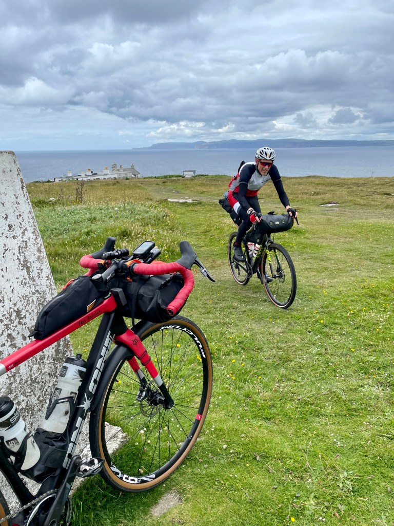
In the summer of 2023, club members Ben and Matt set off on a journey to travel the length of the UK on their gravel bikes. It was such good fun they are thinking of doing it again. We are writing about it here to throw the challenge open to anyone who wants to try the same trip.
The ‘rules’ for designing the gravel route from Land’s End to John o’ Groats were fairly simple:
- Maximise the opportunities for off-road and traffic-free riding
- Minimise the amount of time on any main roads
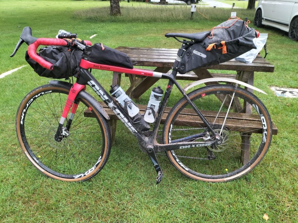
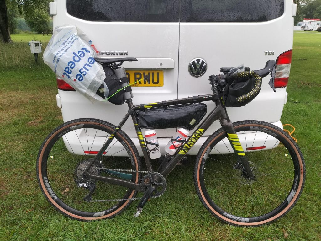
- Aim for the route to be 100% rideable on gravel bikes with bikepacking bags
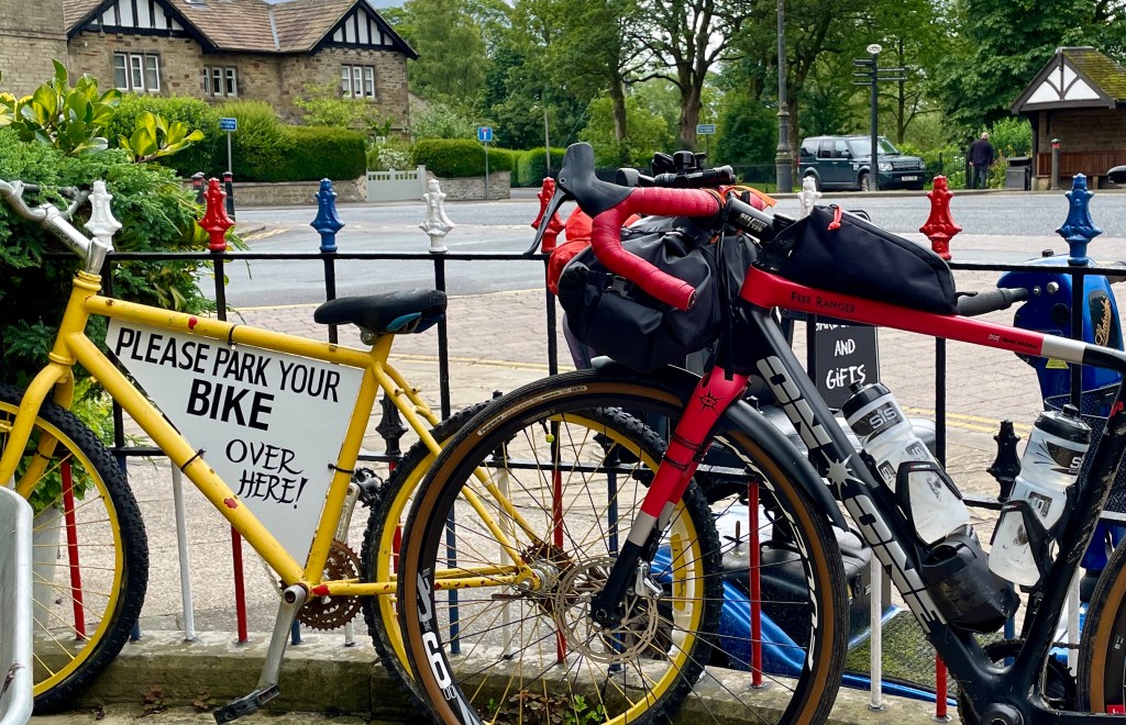
- Go through Malvern
- Be able to complete the route in under one million seconds*
The route is not the shortest distance possible as Ben and Matt aimed to include some sections of trail they knew would be worth riding, and also to see points of interest along the way. Aiming to complete their trip on a budget, accommodation included campsites for the first two nights, followed by a combination of helpful friends, youth hostels and the famous Crask Inn. They completed the trip in eleven and a half days (* which is just under one million seconds).
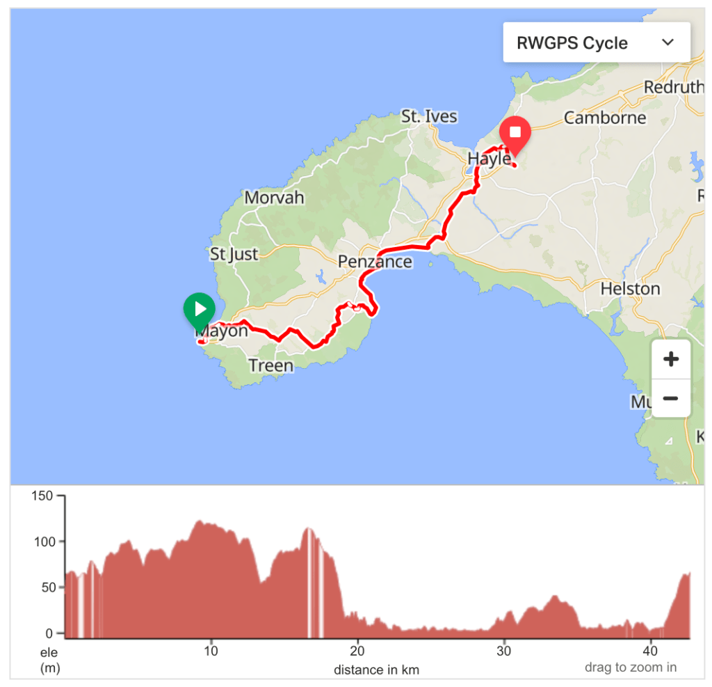
Day 1: Land’s End to somewhere near Hayle (43km / 417m / 31% traffic-free)
https://ridewithgps.com/routes/43961570
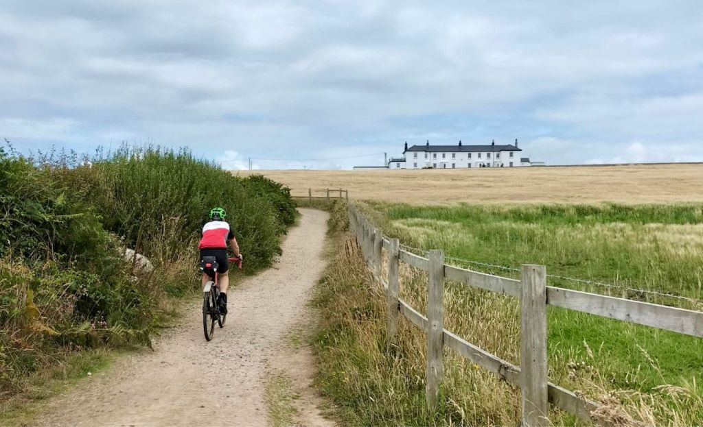
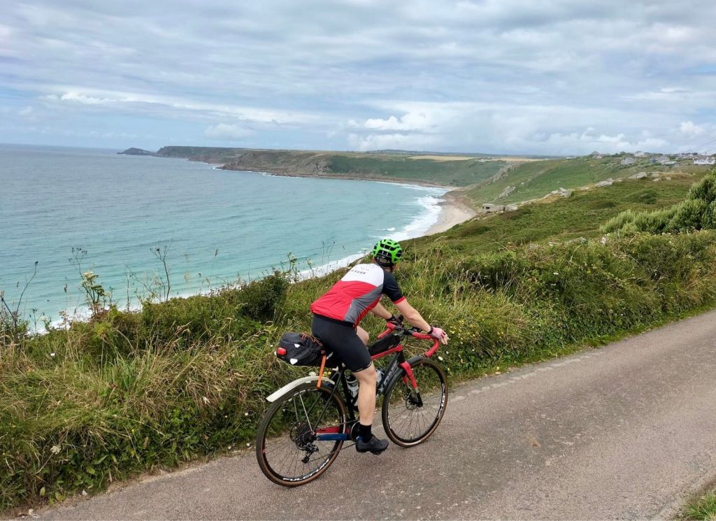
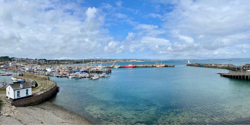
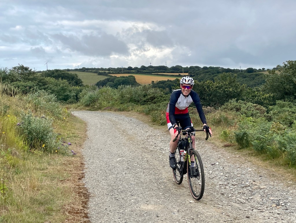
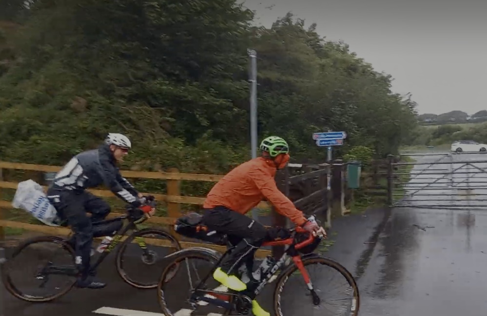
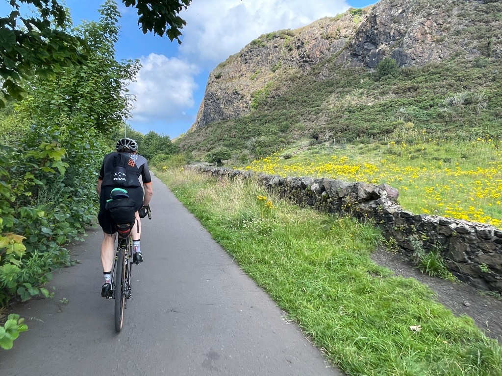
After all the planning, it was great to get away from the crowds at Land’s End and begin our journey on pleasant Cornish lanes. Before we had even reached Penzance, Ben’s klaxon had made an attempt to escape and he had to ride back up the hill to find it. It raised plenty of smiles on the busy path along past St Michael’s Mount and subsequently was honked twice underneath every bridge on the whole 1,100 mile journey. By Hayle it was raining. It would be another ten days before the first when it didn’t.
This is the (less than) half day. It means you can drive down there and get started on the same day. It also means you avoid the need to find accommodation near Land’s End. The route is only 17% off-road, but it is a gentle start, mostly on NCN lanes. You will pass through St Buryan, Mousehole, Newlyn (where sea level is measured from), Penzance and Hayle. Plenty of pasty opportunities.
Day 2: Somewhere near Hayle to somewhere near Tavistock (161km / 2161m / 28% traffic-free)
https://ridewithgps.com/routes/43994877
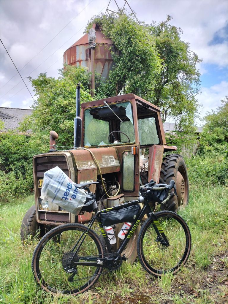
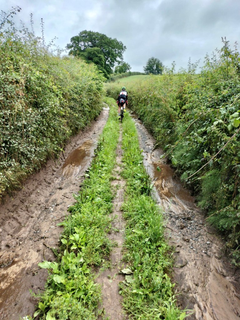
Straight out of the campsite we found ourselves on tricky farm trails, and within five miles it was raining heavily. Nothing was going to dampen our enthusiasm though and at least it made all the money spent on waterproof gear seem very well spent. At Truro we met up with our support driver, Dai. He had taken a break from his tour of wild swimming opportunities to meet us and deliver the gloves that one of us had managed to leave behind at the campsite. We’d read plenty of information about riding LEJOG that suggested the first two days would be the hardest because of all the hills. After careful route planning we felt that just over 2100 metres ascent for the first main day would be a reasonable effort, and so it turned out. We arrived at the evening campsite in good time and still feeling fresh.
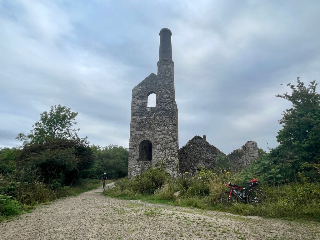
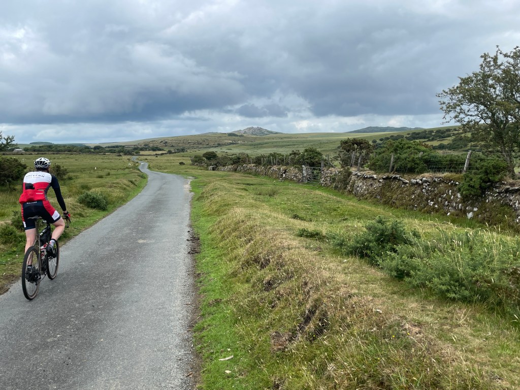
The first 100 mile day will take you all the way through Cornwall and treat you to some great gravel riding. Ten miles along old mining trails from Cambourne towards Truro make use of the industrial history that has shaped the area. Trails through St Clement Woods and Goss Moor Nature Reserve add variety (we encountered a couple of closed roads due to major roadworks near Roche so the route linked here has been slightly changed). A long section along the Camel Trail leads to quiet lanes around Bodmin Moor with views across to Rough Tor and the county highpoint of Brown Willy. From here it is mostly tarmac until the end of the day, although the hardest climb of the day is a surprise awaiting you in the centre of Launceston. You will leave Cornwall behind as you cross the River Tamar, and Devon then greets you with the comparatively gentle ascent of Old Greystone Hill. The high ground of Dartmoor is ahead of you for the final 10 miles of the day.
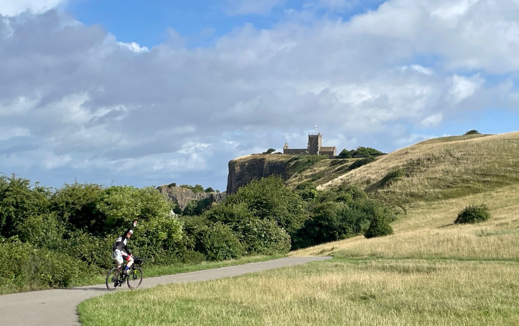
Day 3: Somewhere near Tavistock to Nether Stowey (135km / 1827m / 35% traffic-free)
https://ridewithgps.com/routes/43998606
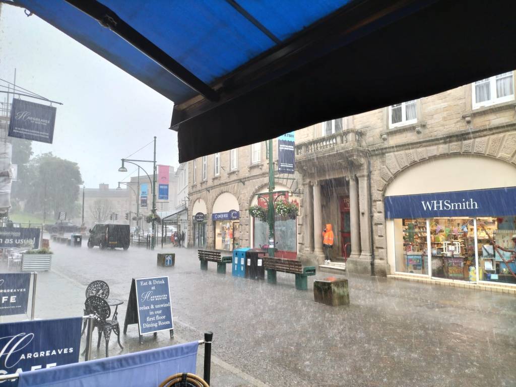
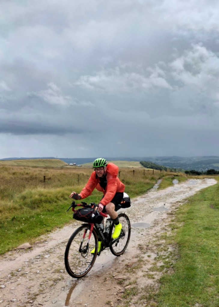
After the first 100 mile day, we thought an easier ride was in order for our third day. We didn’t bank on a yellow weather warning for 40mph winds and torrential rain all day. Full waterproofs were needed for the entire day and it tested our kit to the limit (the ‘waterproof’ shoe covers failed). There was no time to think about photos, and we had to take our bad-weather alternative near the end of the ride – meaning we diverted around the final section along the top of the Quantocks.
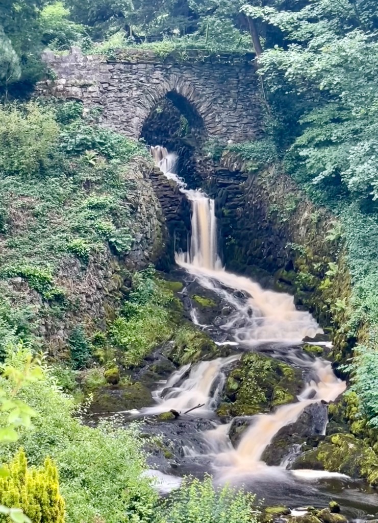
Don’t be deceived by the shorter distance though … this is not an easy ride! There is a short, tough section on the edge of Dartmoor which will mean a slow start, although the Granite Way from Lydford to Okehampton is a great ride and takes in the Meldon Viaduct. Many of the lanes from here are really only suitable for a gravel bike even if RideWithGPS claims they are ‘paved’. After Tiverton things calm down for a while with a delightful 13-mile section along the Grand Western Canal towpath. You pass through the dramatic man-made gorge of Nynehead Hollow on the way to Bishops Lydeard, before climbing up on to the Quantocks via Cothelstone Hill. If you get chance to ride along the ridge, the final descent into Nether Stowey is a wonderful end to the ride.
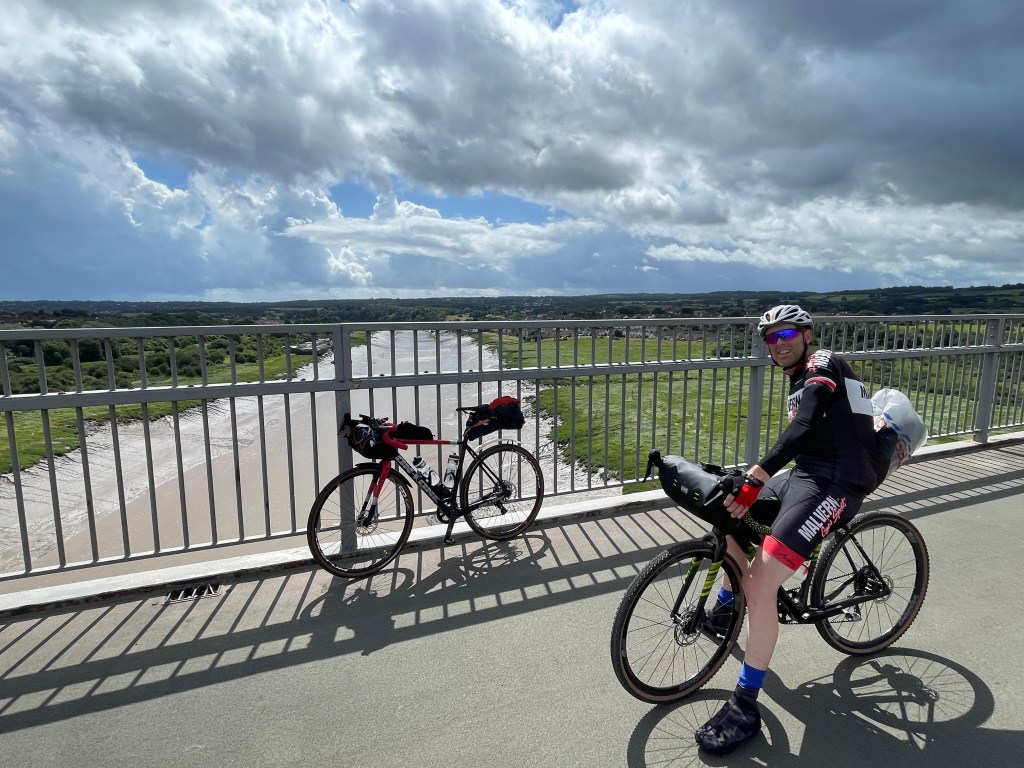
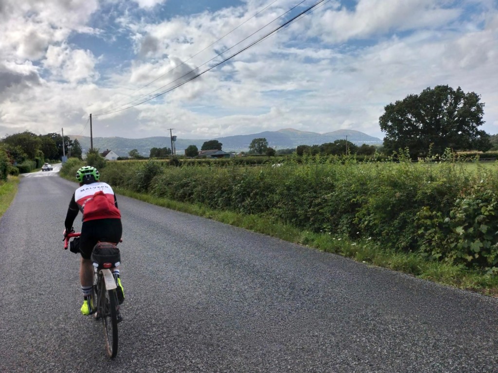
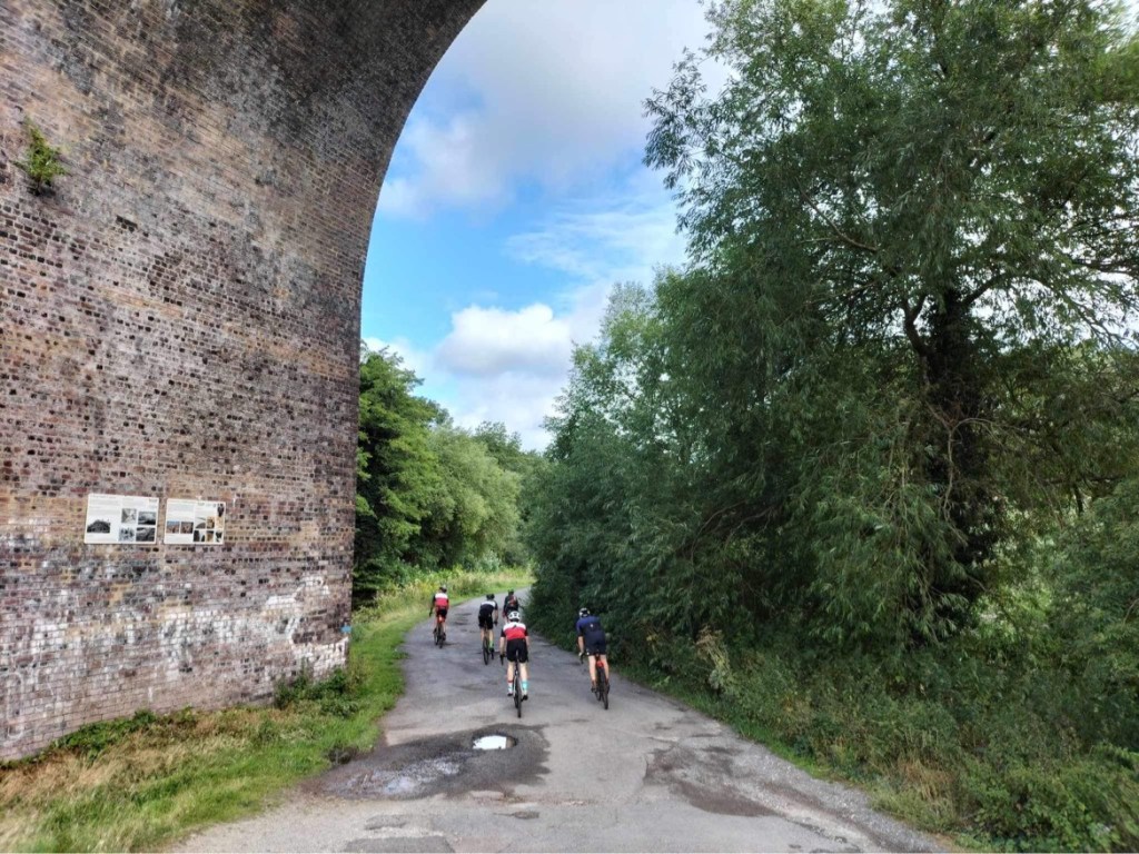
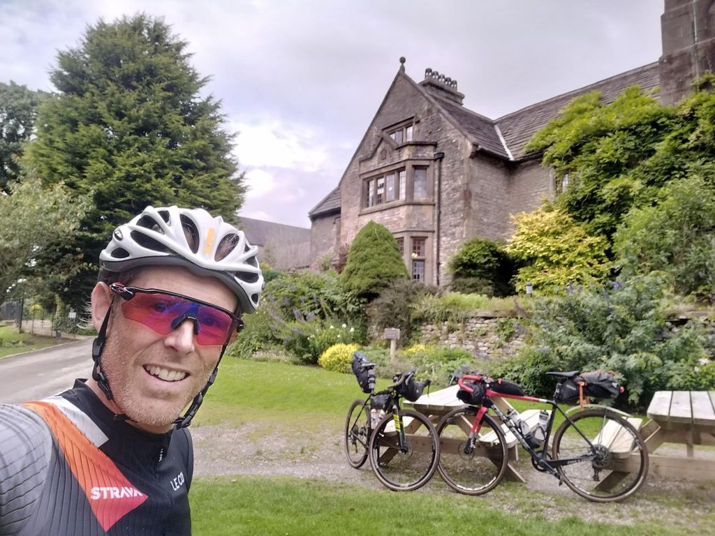
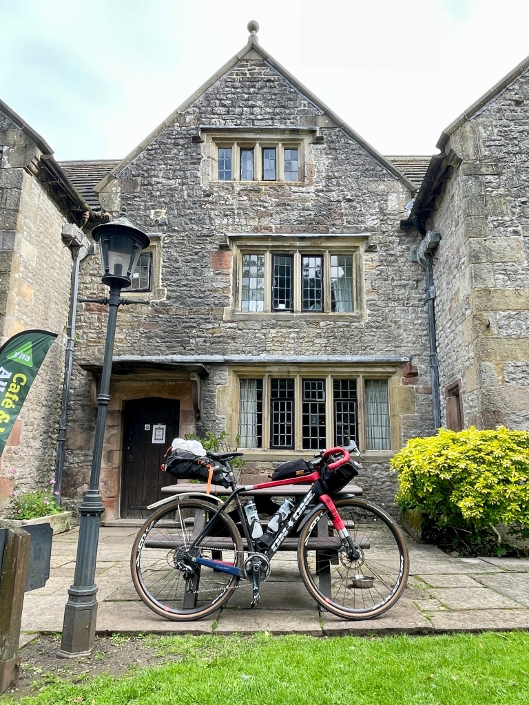
Day 4: Nether Stowey to Malvern (186km / 1233m / 33% traffic-free)
https://ridewithgps.com/routes/44101862
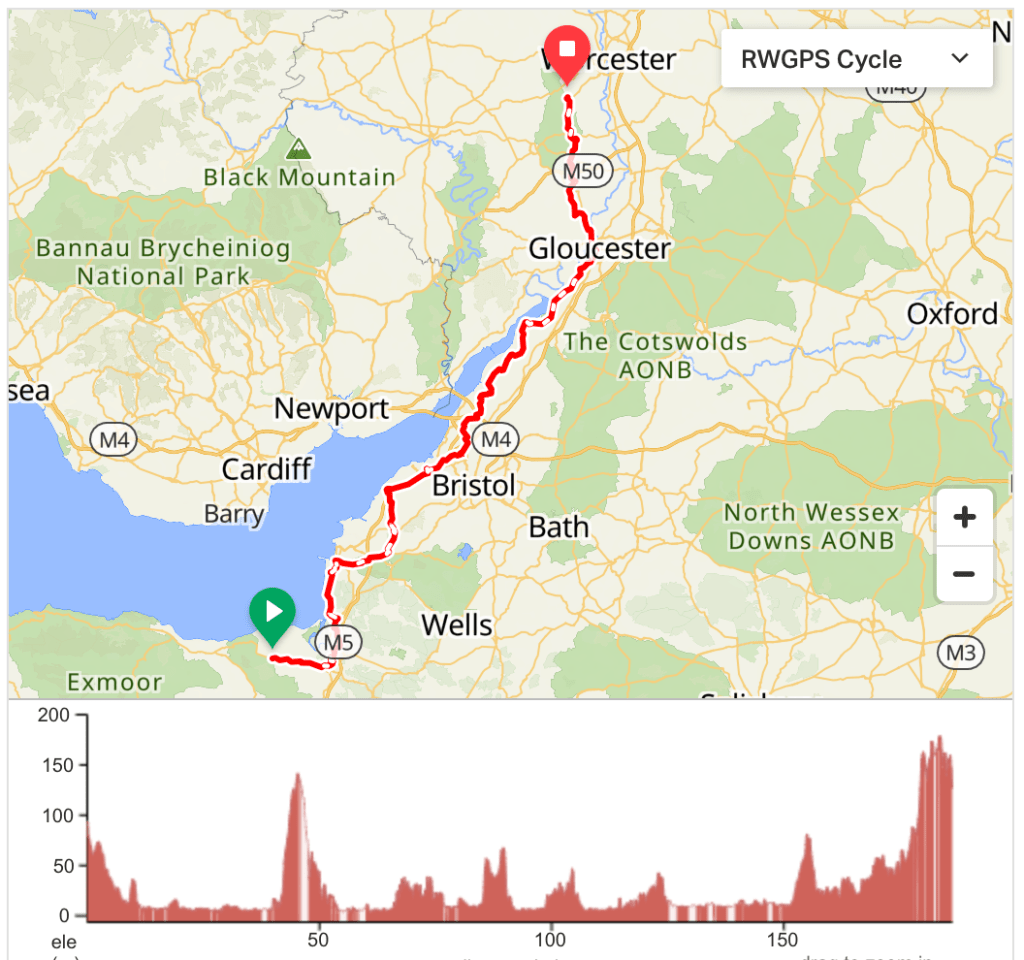
At 120 miles this could have been the toughest day. Any route tracking the Severn Estuary for so far would be flat though, and knowing much of the terrain really well meant we still felt confident. What really worked in our favour was a tailwind from heaven, as yesterday’s storm refused to completely go away. It was easily our fastest day despite very slow progress through Bristol, the need to shelter from several intense rain showers and increasingly regular stops for food. We still finished more than an hour earlier than expected.
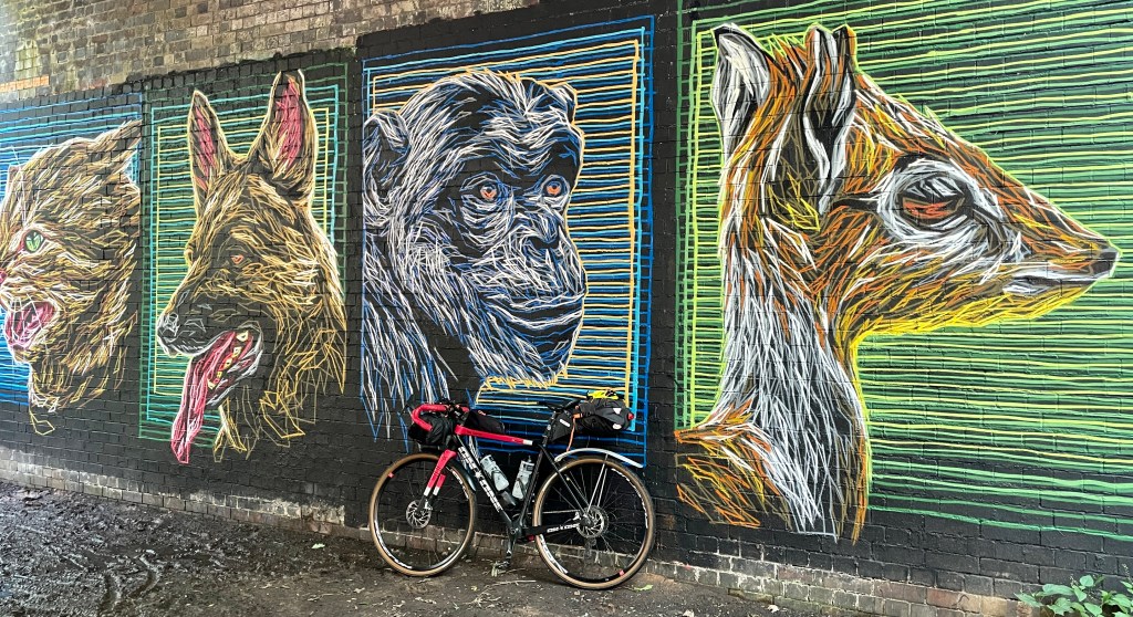
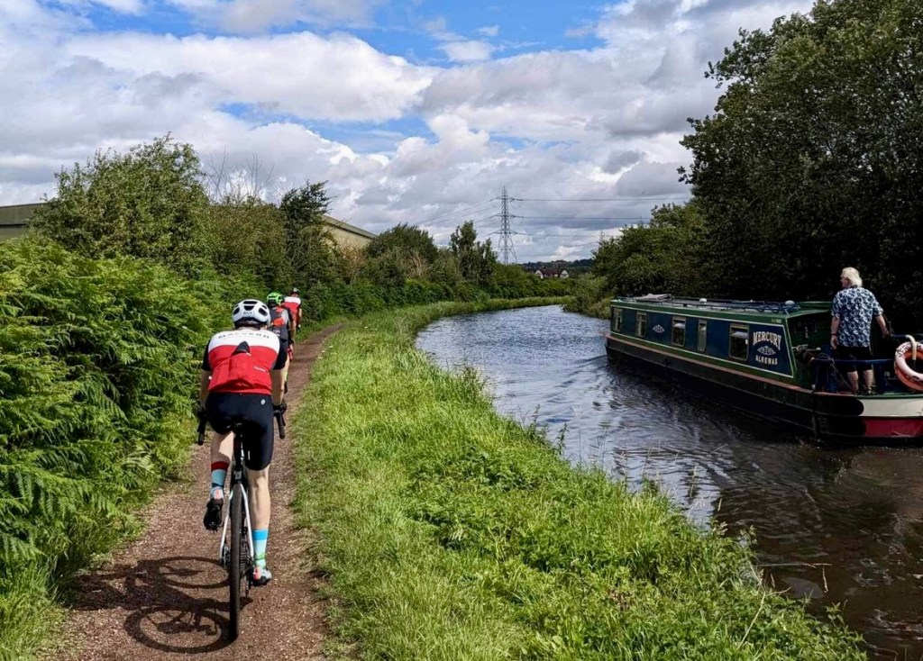
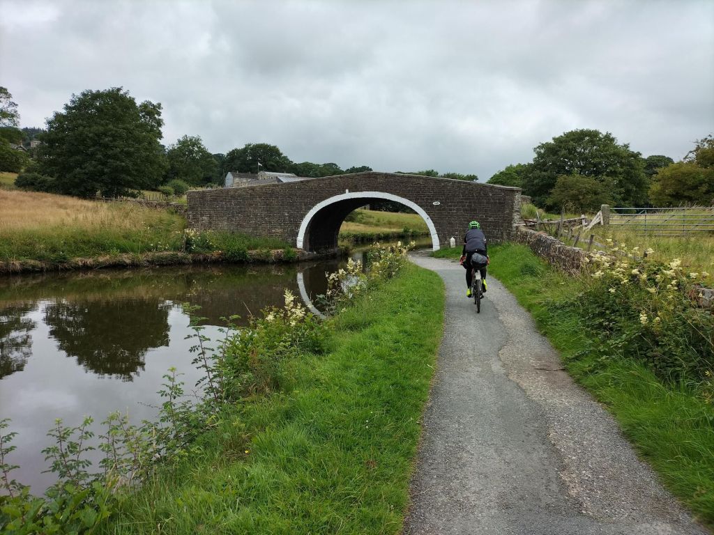
The day starts with an unavoidable 4 miles of main road on the way to Bridgwater. Easy, flat riding on gravel tracks and country lanes takes you through Burnham-on-Sea and nearly to Weston-super-Mare. Heading inland you will skirt the Mendips before picking up the Strawberry Line through the Cheddar Valley Railway Nature Reserve. After Clevedon the route runs parallel to the M5 for several miles but is hardly ever noticeable, apart from the incongruous bridge over Clevedon Lane Farm. After crossing the Avonmouth Bridge you navigate the outskirts of Bristol mostly on cycle paths which will slow the pace. The easy lanes between Thornbury and Berkeley appear to play host to various celebrations of transport (our last two visits have coincided with a vintage bicycle rally and a more-exciting-than-intended tractor run). They will lead you to the start of 15 miles of towpath alongside the impressive Gloucester and Sharpness Canal. Take a moment to admire Thomas Telford’s elegant Over Bridge (for 130 years, the lowest crossing point of the River Severn) as you leave Gloucester behind. Before long you will find yourself on the – probably familiar – roads of the MCS Chaingang loop and back in Malvern for a well-earned rest.
Note: A different option we considered was to cross the Severn Bridge at Bristol and head up through miles of trails in the Forest of Dean and the Malvern Hills. This is a bit longer (198km), a bit hillier (1981m), and is no less than 38% traffic-free. The route is here: https://ridewithgps.com/routes/44100725.
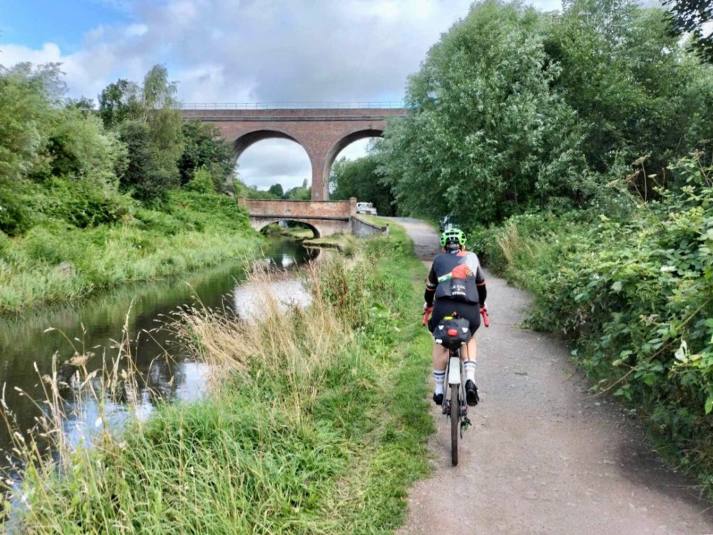
Day 5: Malvern to Hartington (166km / 1683m / 44% traffic-free)
https://ridewithgps.com/routes/44108179
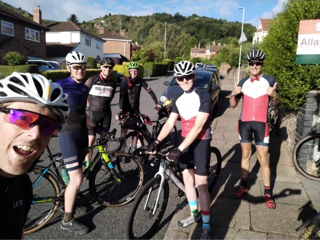
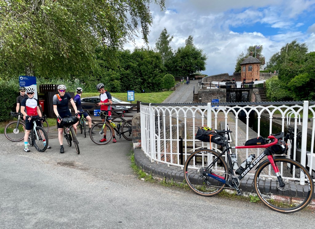
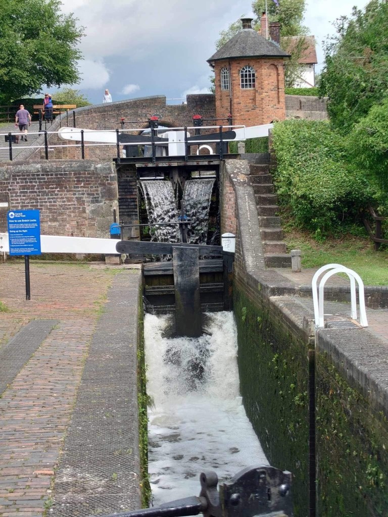


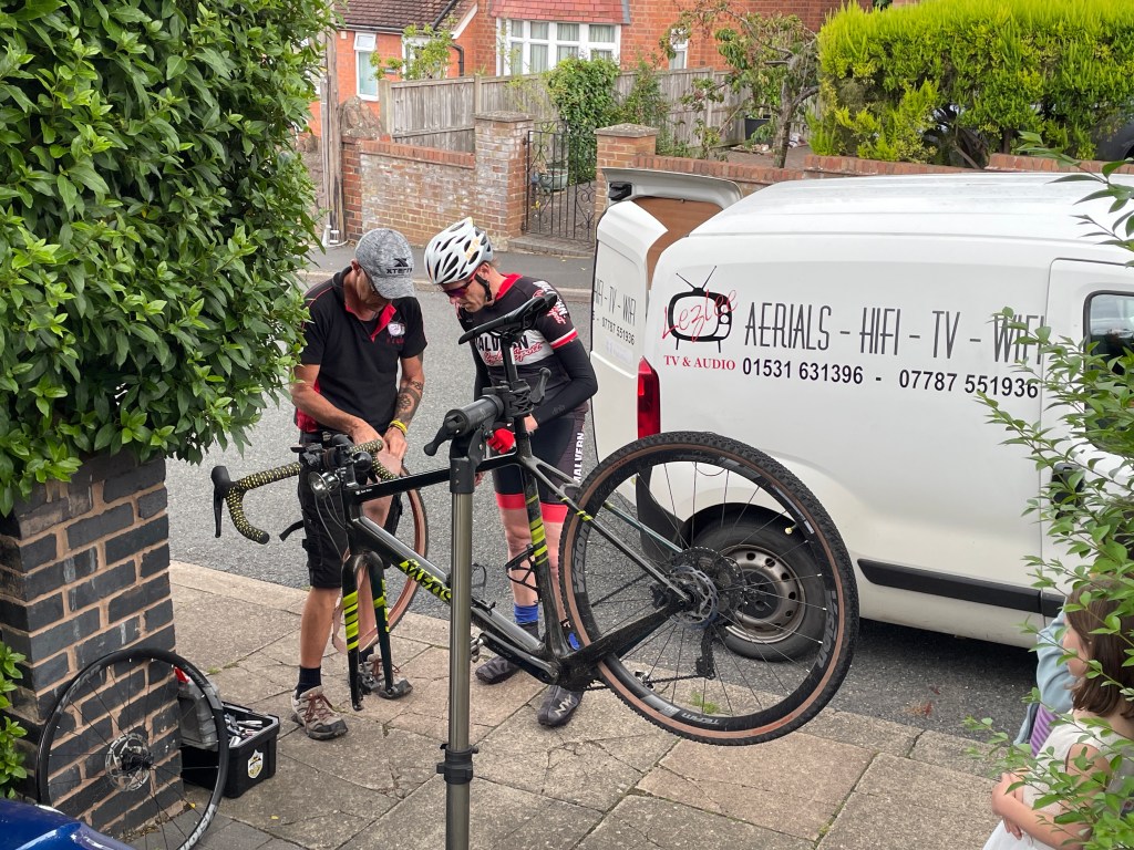
We’d planned to arrive in Malvern on the Saturday, which meant that we could be joined by friends for the Sunday – Les, Tim, Lawrence and Matt. There was a great sense of camaraderie as we set off in the early morning sunshine and it actually felt like summer again. This route up through a large chunk of the Midlands makes use of the network of canal towpaths that exist all around Birmingham and it is quite amazing that you can travel right through the West Midlands on a bike without ever feeling you are near a built-up area. Our support team turned around at the 100km mark which coincided with reaching Cannock Chase. Riding away from them, there was a strong sense that we were on our own now and the journey had truly begun. By the end of the day we had reached the Peak District.
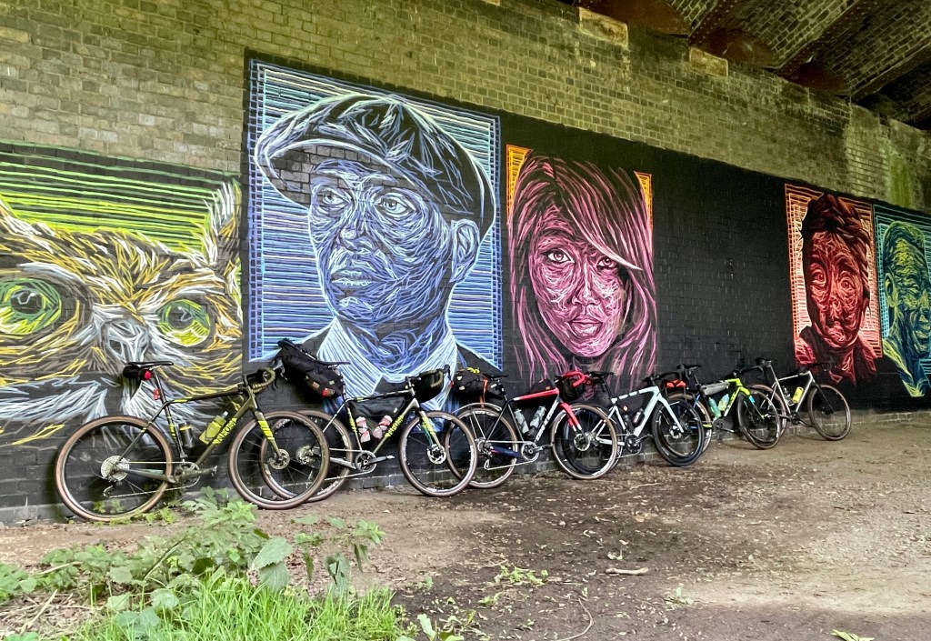
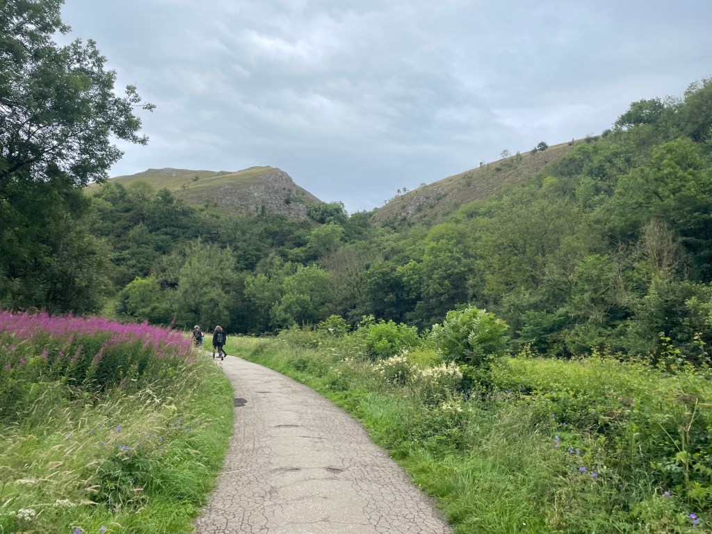
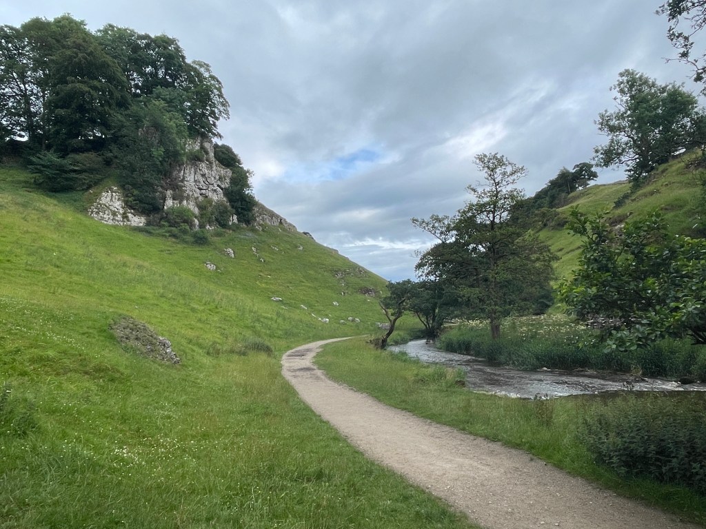
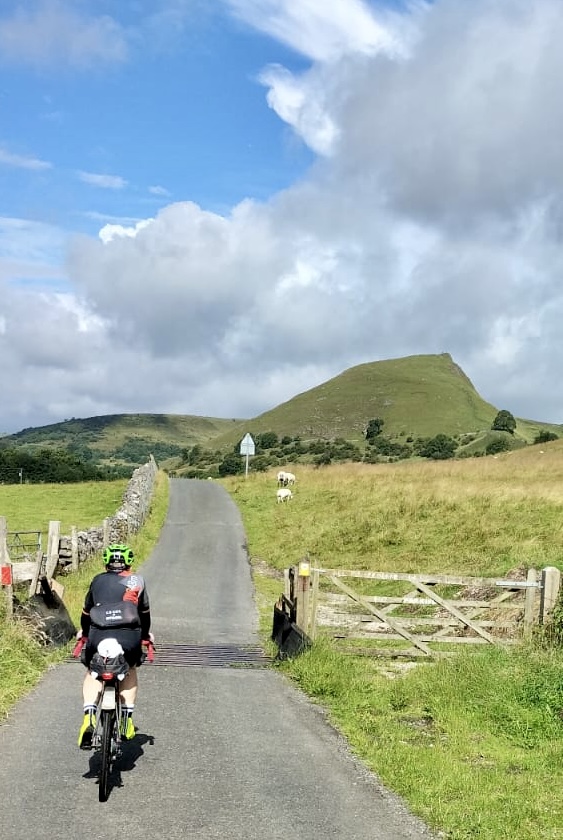
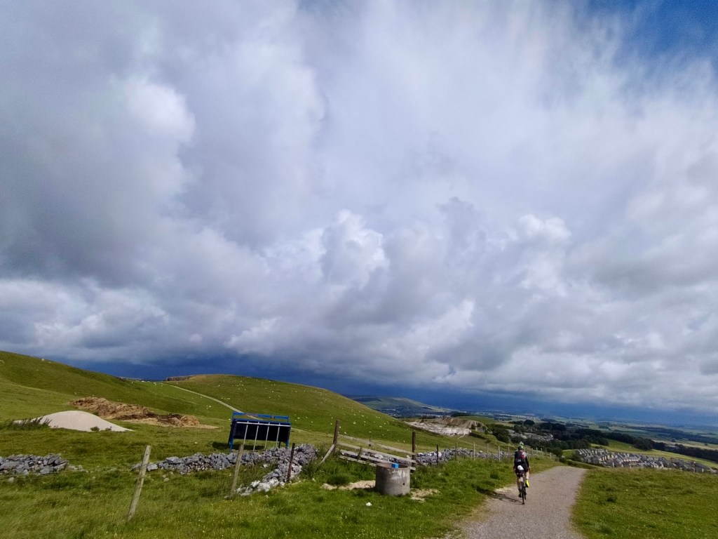
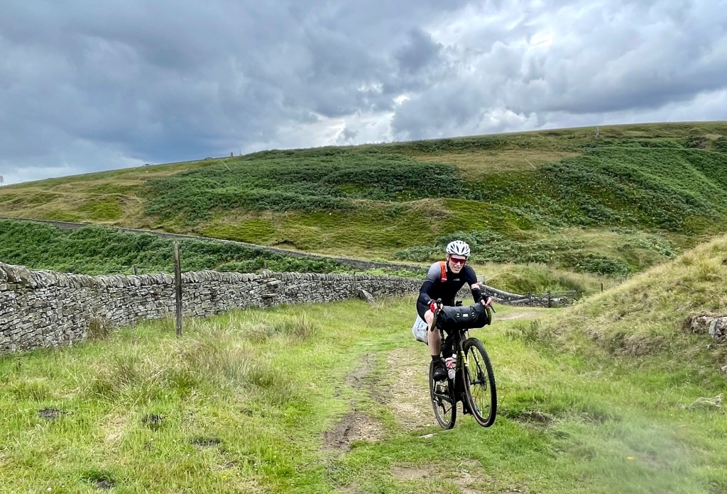
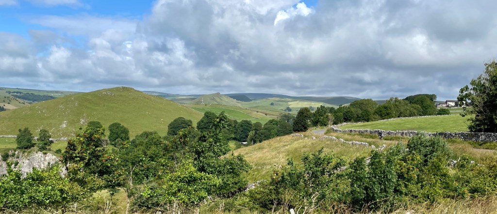
The first 20 miles of the day is on roads to Stourport. However, once you reach the canal basin the character of the ride changes completely and you will spend the next 30 miles off-road. First, the Staffordshire and Worcestershire Canal is followed all the way to Wombourne. There is plenty of opportunity to marvel at the feat of engineering: the entire canal was constructed over a period of just five years starting in 1766 and interesting industrial architecture abounds. If you are lucky you will see a Severn Valley Railway heritage train crossing the Falling Sands Viaduct (we didn’t). One of the best features is Bratch Locks, and it is here that you transfer from towpath to railway path – stopping for food at the Railway Café if you are in need of refuelling. Along the South Staffordshire Railway Walk you will encounter colourful street art and the ‘Meccano Bridge’, before finding your way back onto towpaths and underneath the M54. After the varying surfaces of the past 30 miles you will appreciate a brief stretch on tarmac before steadily climbing up onto Cannock Chase and then enjoying a long descent into the Trent Valley. The roads north to Uttoxter will increase the average speed, but at Ellastone the climbing begins. To your left, the Weaver Hills rise up: the southernmost point of the Pennines and proof that you are making good progress. You then join the Manifold Way at Waterhouses for a traffic-free trail that winds its way deep into the White Peak. Increasingly, the landscape around you changes as limestone features begin to dominate, the most impressive being Thor’s Cave. The last few miles include the roughest riding of the day around the head of Wolfscote Dale and steeply up to the youth hostel at Hartington. It feels a long way from Malvern!
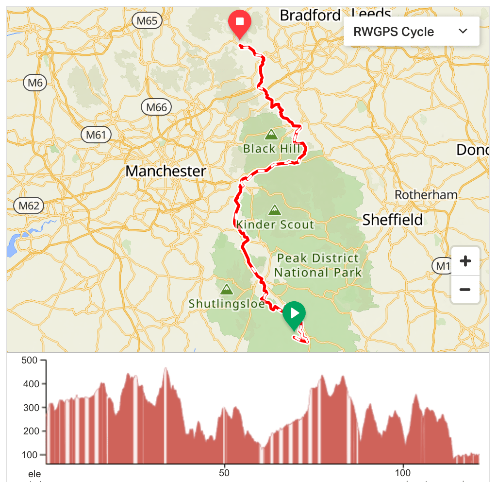
Day 6: Hartington to Mytholmroyd (121km / 2136m / 39% traffic-free)
https://ridewithgps.com/routes/44114474

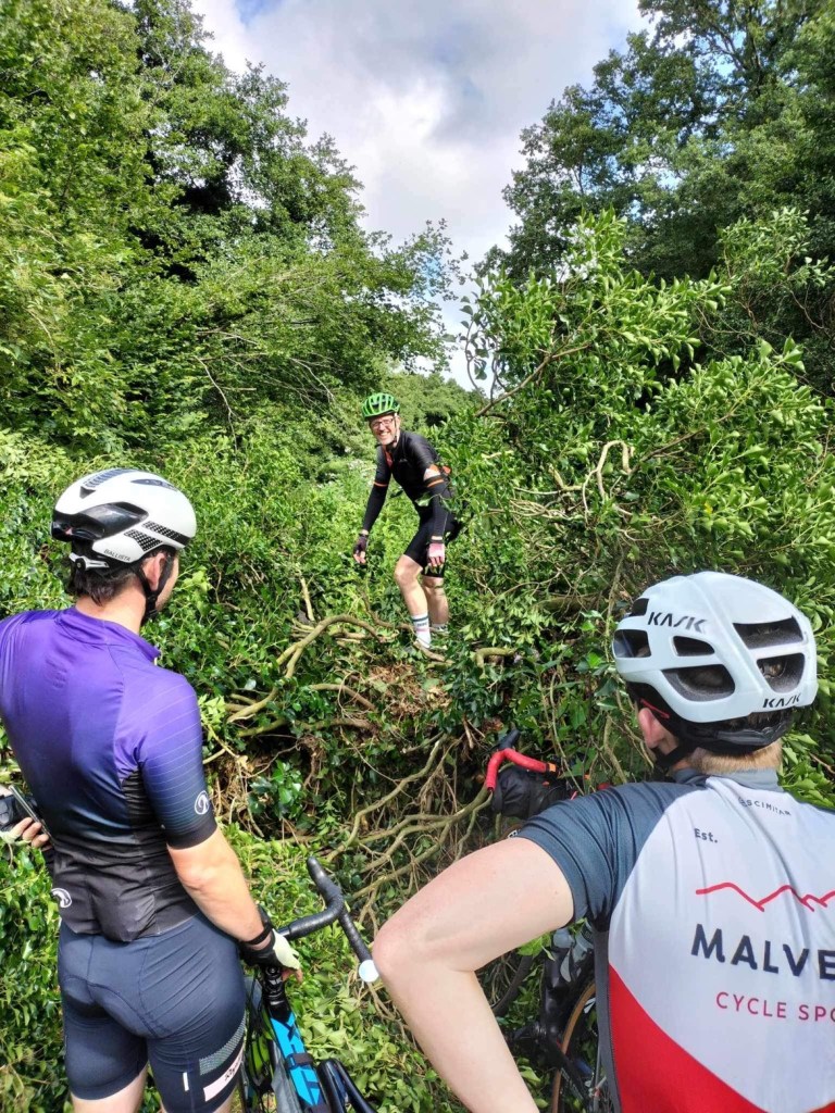
It’s only 75 miles … what could possibly go wrong? Well … a late all-you-can-eat breakfast, a ferocious thunderstorm, headwind, steep hills, a slurry-filled farmyard, rain, an angry DPD delivery driver, more steep hills, a puncture, more rain and more steep hills. This was not a day of active recovery! It was – however – a day packed full of memories and one which allowed the purchase of some excellent waterproof socks. By the time we arrived at friends in Mytholmroyd we were well in need of a rest. Their great hospitality meant that we were able to thoroughly clean the bikes, provide some impromptu junior cycle coaching and enjoy an excellent meal.
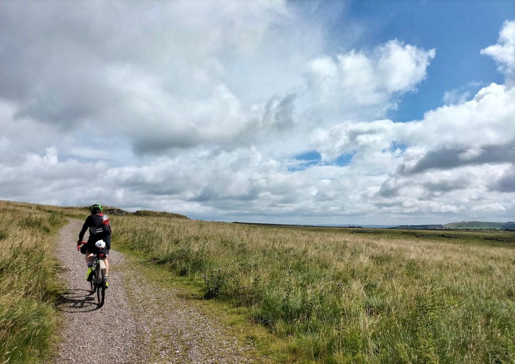
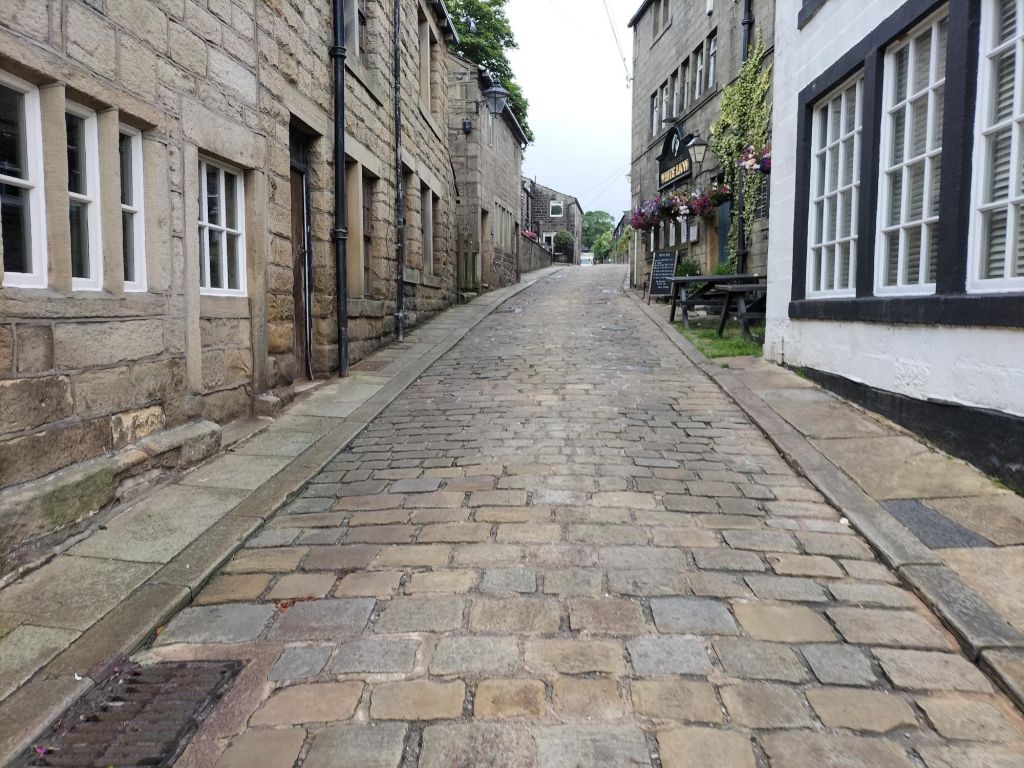
The Tissington Trail makes for a lovely gentle start with 7 miles of ideal gravel riding. Near High Wheeldon it is well worth the diversion downhill to ride the road between the dramatic Parkhouse and Chrome Hills before joining NCN trails into Buxton. Climb away from the town and join the Midshires Way for an increasingly technical trail on the way to Whaley Bridge. Between here and Glossop you will catch sight of the Manchester skyline to the left, dispelling any doubts you may have had about reaching the north of England. The brooding mass of first Kinder Scout and then Bleaklow provides real contrast to the pastoral countryside of the White Peak that you have now left behind. At Padfield, join the Longdendale Trail for an excellent 9 mile section of off-road riding most of the way to the top of the Woodhead Pass. Just above the final reservoir in the chain you will reach the barricaded entrance to the Woodhead Tunnels. There is a very short hike-a-bike section just after this which can be avoided if necessary, but only by riding along the very busy A628 for a couple of kilometres instead. Once you have crossed the main road near Salter’s Brook Moss descend to skirt Winscar Reservoir before locating some good trails on the way to Holmfirth. A mountain bike would definitely be more comfortable at times but 38mm tyres coped well despite loaded up bikes. The climbing might feel a bit relentless as you pass through Meltham and Slaithwaite, but save some energy for the toughest one of the day as you pass the 100km mark. Soon afterwards you reach Scammonden Dam, which – uniquely – also forms part of the M62 motorway. Cross both here and head downhill into Sowerby Bridge, riding alongside the Rochdale Canal for the final few miles. At the very end of the day you will see the sign at the bottom of Cragg Vale – the longest continuous uphill gradient in England. That will have to wait for another day.
Day 7: Mytholmroyd to Penrith (150km / 2381m / 28% traffic-free)
https://ridewithgps.com/routes/44151452
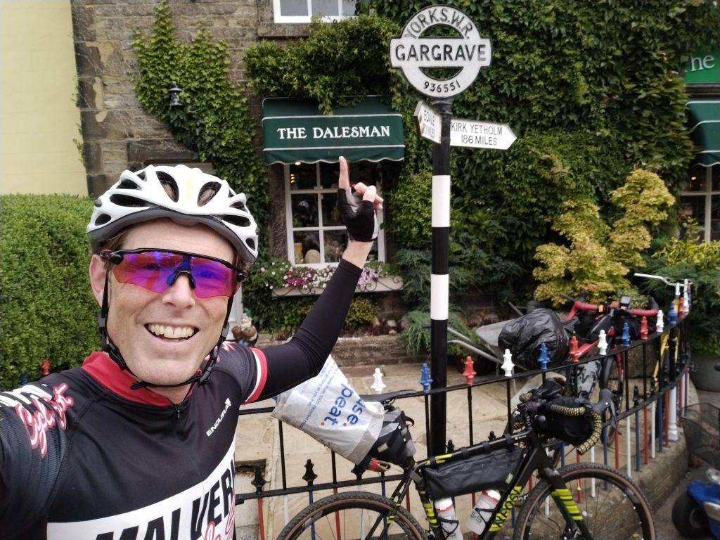
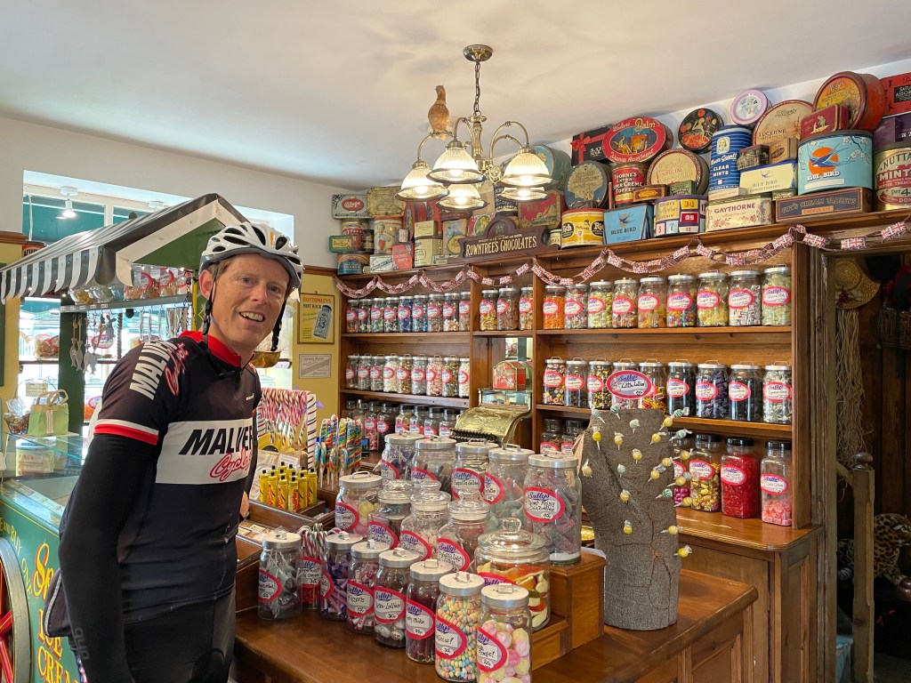

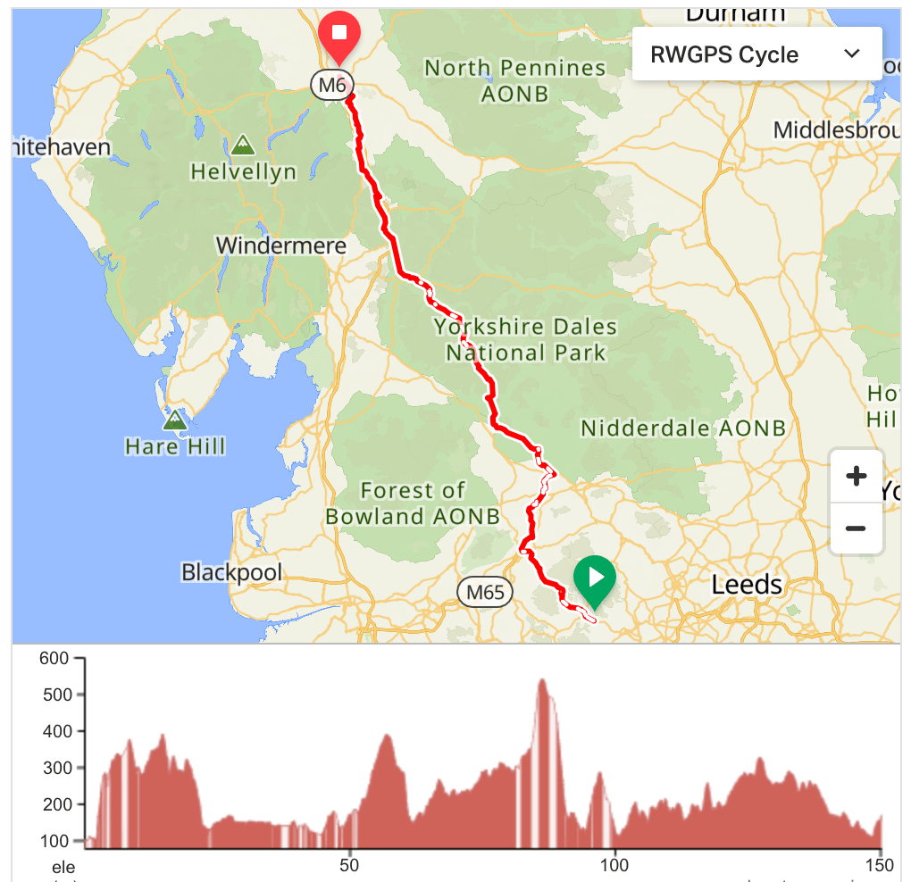
Through much of the previous day, this ride had been on our mind. It was due to be the hilliest of all the days, and the weather forecast promised us persistent heavy rain from late morning onwards. An early start meant we made good progress over the moors away from Hebden Bridge and along the canal to Gargrave. A refuelling stop here proved to be an interesting mix of museum, vintage sweet shop and namesake café (for Ben). Not long afterwards the rain duly arrived and we were forced into our bad weather route once again – leading to extra distance (157km) and height gain (2703m) as we tracked through Settle, Clapham and Ingleton as alternative to higher ground across the Dales. The last 40 miles were ridiculously wet once again and we arrived in Penrith in a monsoon.
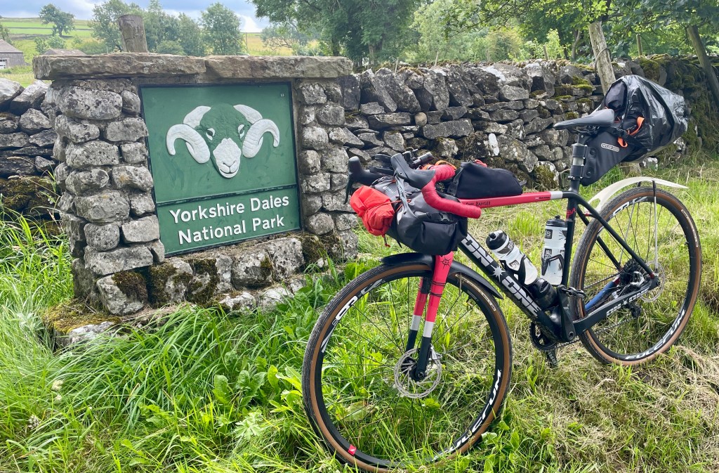
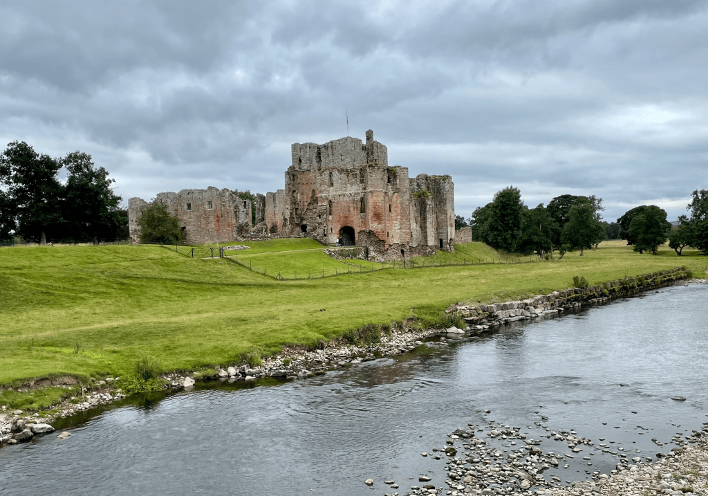
After more towpath for starters, climb out of Calderdale through the cobbles of Heptonstall before picking up the Pennine bridleway for a couple of miles. The road across Widdop Moor leads to Colne, where you join today’s main canal – the Leeds and Liverpool. For a while, it may feel that this is the best towpath surface of the whole route so far, and you will make swift progress as far as Barnoldswick. Greenberfield Locks marks the highest point on this Trans Pennine canal and beyond here the towpath deteriorates into muddy singletrack. It doesn’t last too long though, and by the time you pass under the double-arched bridge at Long Eaton things have improved. A good off-road trail heads out of Gargrave, after which you enter the Yorkshire Dales National Park at Bell Busk. It’s a big climb up from here, but well worth it for the brilliant section of road towards Scaleber Force and Attermire Scar, although you will want your brakes to be functioning well on the descent into Settle. The bad weather route heads west to Ingleton before climbing over White Shaw Moss. It’s a good route, but travelling north along the River Ribble from Settle will take you to the stunning Ribblehead Viaduct. Join the Dales High Way here for a challenging climb over the shoulder of Whernside – Yorkshire’s county highpoint. Either way, you will end up in Dentdale, and eventually Sedbergh. Continuing north you are funnelled into the Lune Gorge along with the West Coast Main Line and the M6. Widely considered the most beautiful section of motorway in the UK, it is interesting to travel through at a leisurely pace, especially when you find yourself riding along between opposing carriageways of motorway traffic. Beyond Shap, the final ten miles of the day are a velvety-smooth Cumbrian tarmac treat past Brougham Castle and into Penrith.
Day 8: Penrith to Innerleithen (161km / 1852m / 28% traffic-free)
https://ridewithgps.com/routes/44164193
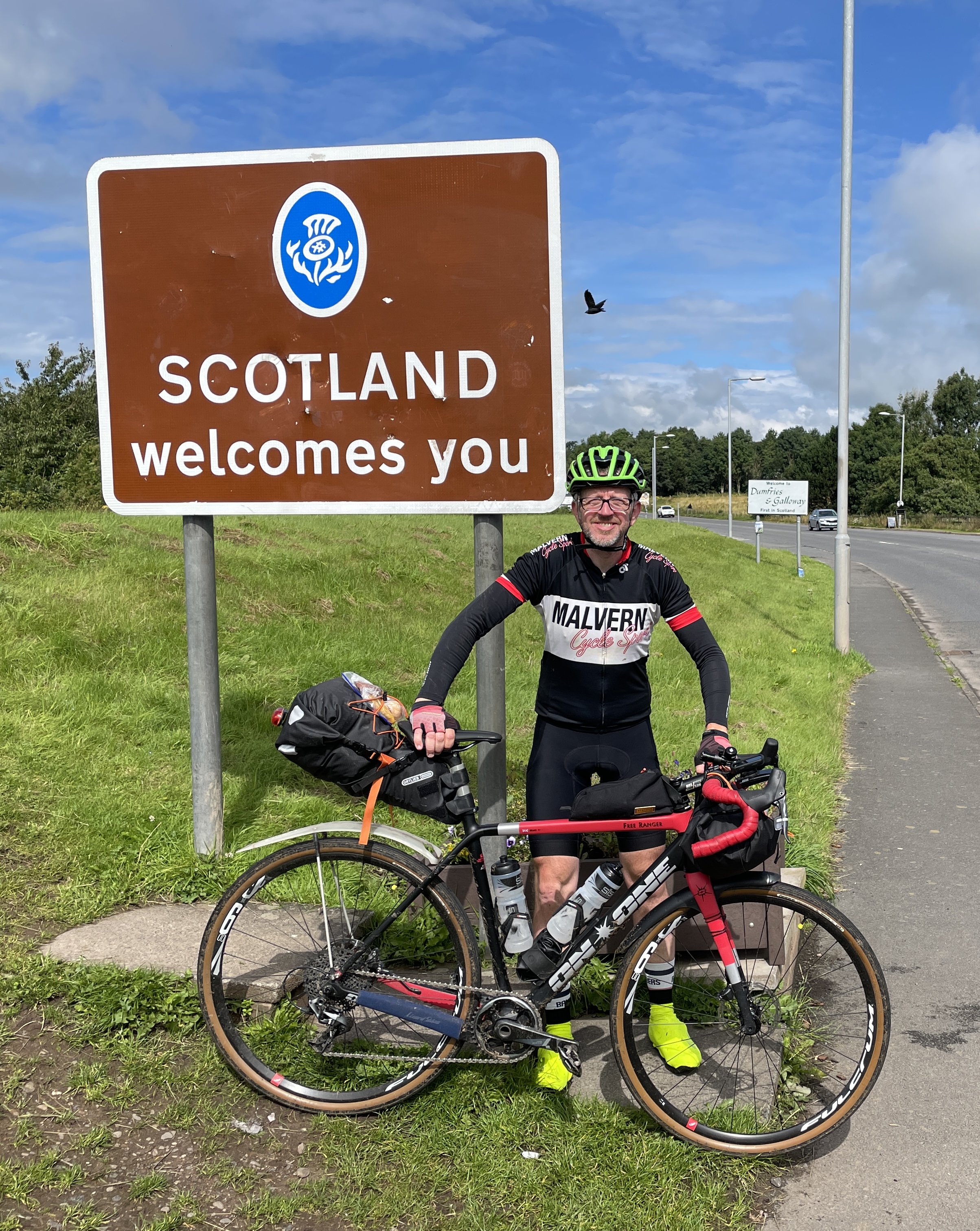
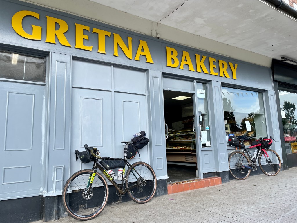
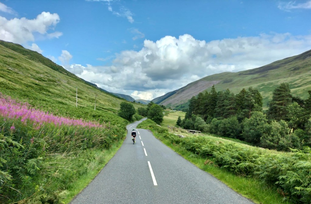
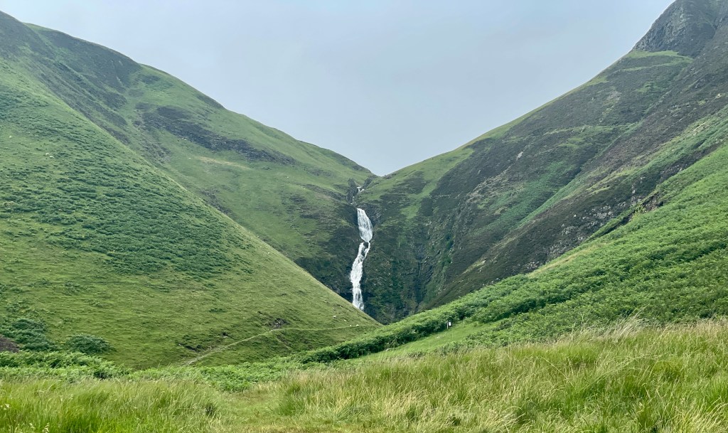
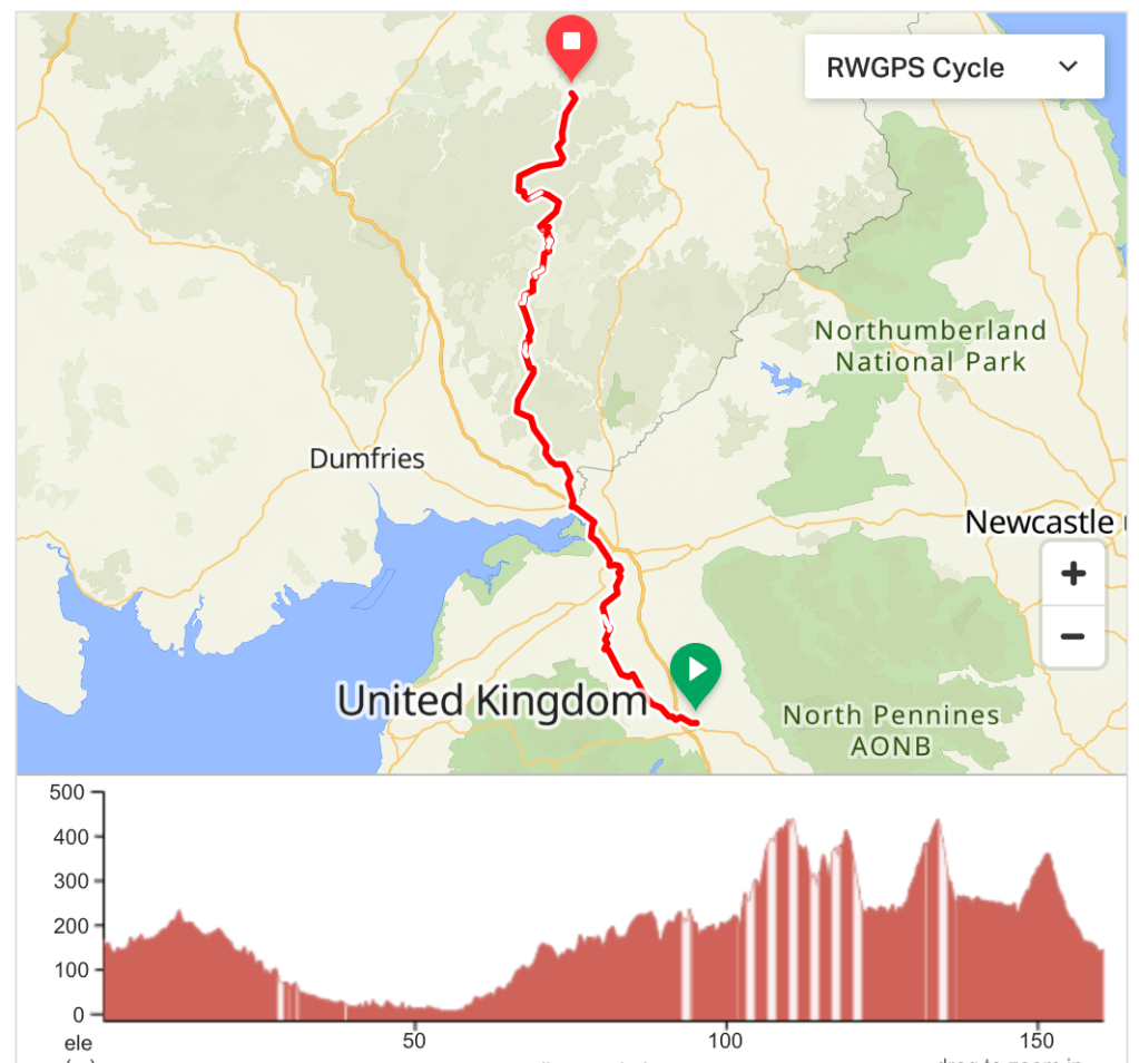
Reaching Scotland was a great feeling. The sun even came out for a few minutes, leading to some very misleading photos. We still took regular shelter from some heavy rain, but by the end of the ride the sun was properly shining and the final descent into Innerleithen was a joy. Before then we had spent 30 miles riding up Annandale from Gretna to Moffat. This was a cheerless slog alongside the B7076 and the only disappointing section of the whole route. The route linked above (and described below) has been changed to head towards Eskdalemuir from Gretna and take advantage of many miles of forest tracks instead. It’s the same distance but involves more uphill. However, our route from Moffat was along the A708 – a beautiful road into the mountains and past the Grey Mare’s Tail waterfall.
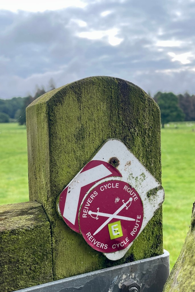
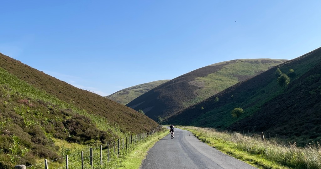
After the exertion of the last couple of days you’ll race along for the first 17 miles from Penrith on easy roads. At Raughton Head things slow down as you head off-road and onto a section of the Reivers Route. It’s then traffic-free all the way to and through Carlisle, and exceptionally flat as far as Gretna. Once in Scotland the hills start almost straight away as you follow quiet lanes up into the Southern Uplands for about 20 miles. The payback begins just after Castle O’er with the first of several sections of forest track nearly as far as Eskdalemuir. There then follows 13 miles of great off-road riding on gravel tracks through the Eskdalemuir and Craik Forests. At Ettrick you return to the tarmac for a short time before the climb up to Earl’s Hill alongside the Berryknowe Burn. Descend to St Mary’s Loch at the Tibbie Shiels Inn and join the A708. The final climb of the day heads up the valley of the Mountbenger Burn. From the top, there is a great view north into the Tweed Valley, and the exhilarating six-mile descent that follows is an excellent way to end the day.
Note: If the description of Annandale hasn’t put you off, or if you just want an easier day, you can follow the route is here instead: https://ridewithgps.com/routes/41769504. You’ll save 500 metres of climbing, but miss all those forest gravel tracks!
Day 9: Innerleithen to Perth (153km / 1727m / 38% traffic-free)
https://ridewithgps.com/routes/44260089


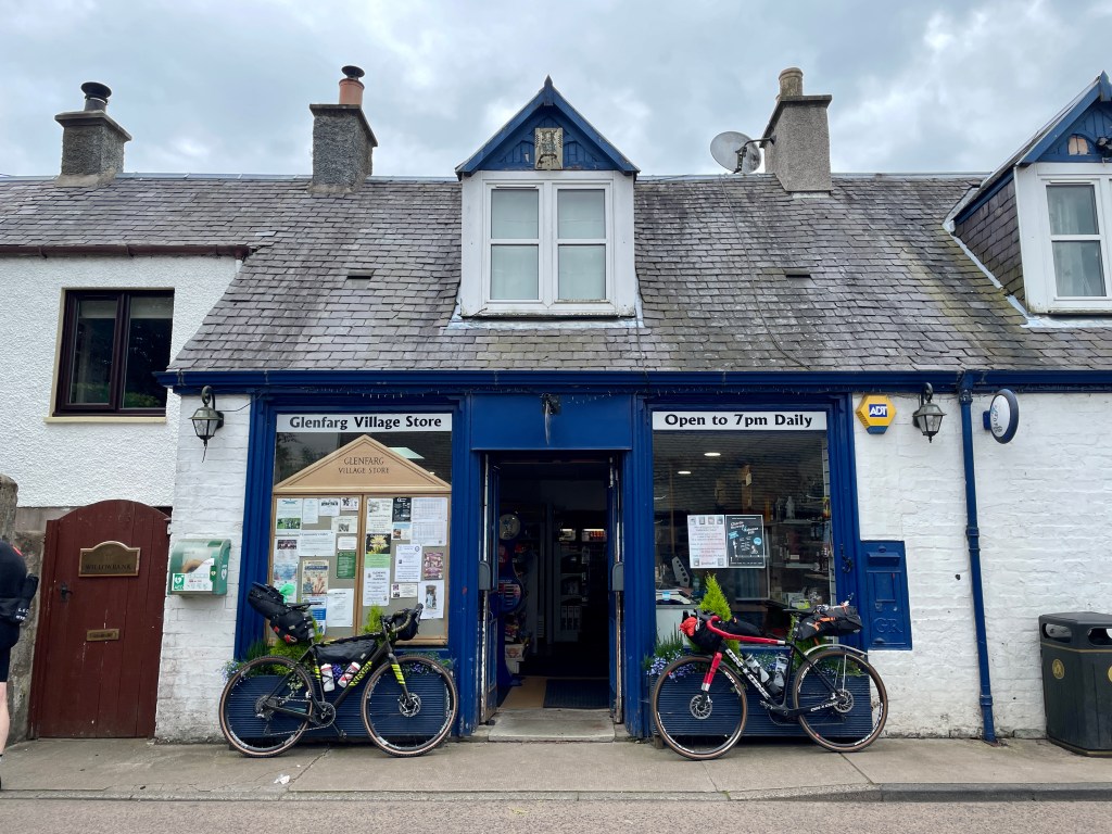
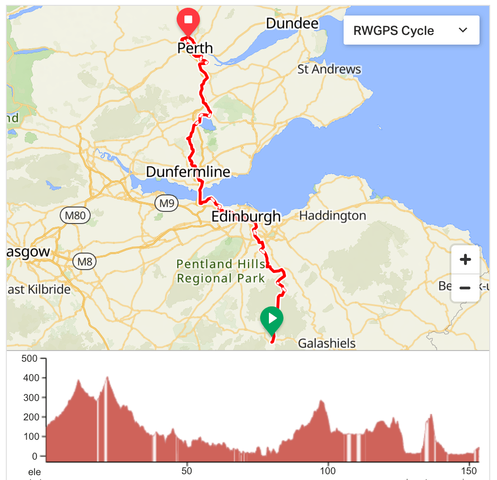
Finally … a day when it didn’t rain during our ride! It was chilly when we left Innerleithen, but absolutely glorious in the sunshine. The long climb up the valley alongside Dewar Burn was one of the highlights of our trip, as was the long descent towards Edinburgh. Once through the city and over the Firth of Forth we were both in completely new terrain. At Blairadam Forest we met a couple cycle touring LEJOG themselves. With the exception of Father Christmas on a recumbent during the wet day in Devon, they were the first LEJOGers we had met – although this time we did stop to chat. By the time we arrived at the youth hostel in Perth, the storm clouds had gathered. Having stayed dry all day, it was perhaps inevitable that we should get drenched while walking into the city centre to find fish and chips for tea (and replacement flip-flops for Ben).
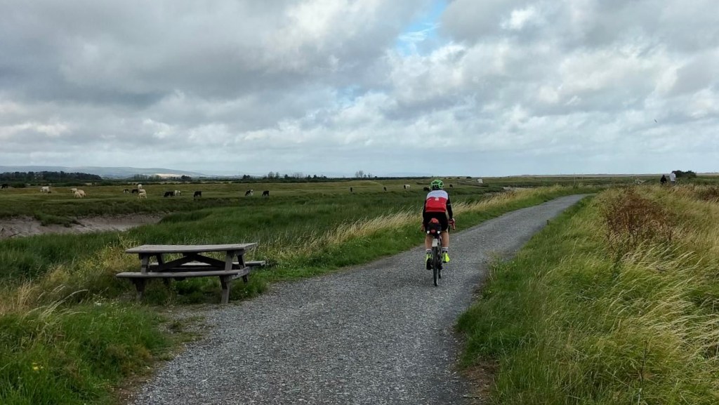
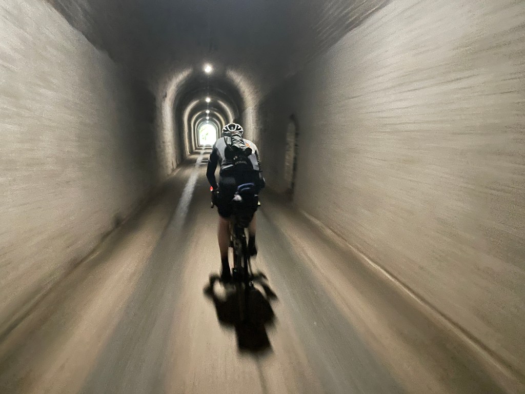
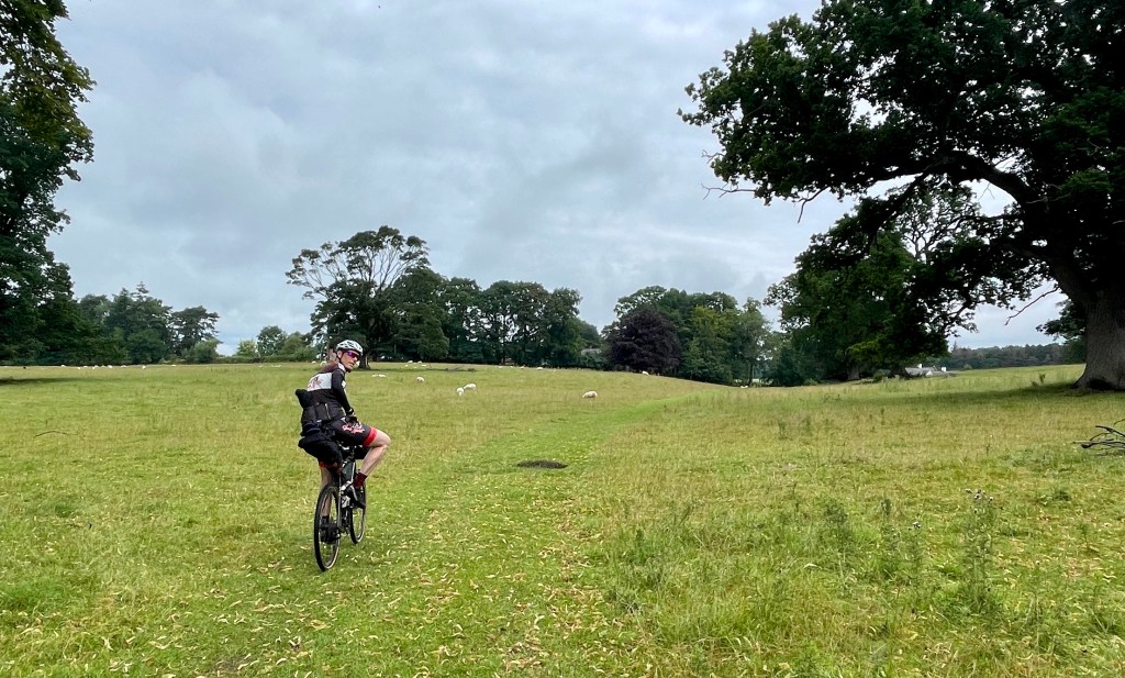
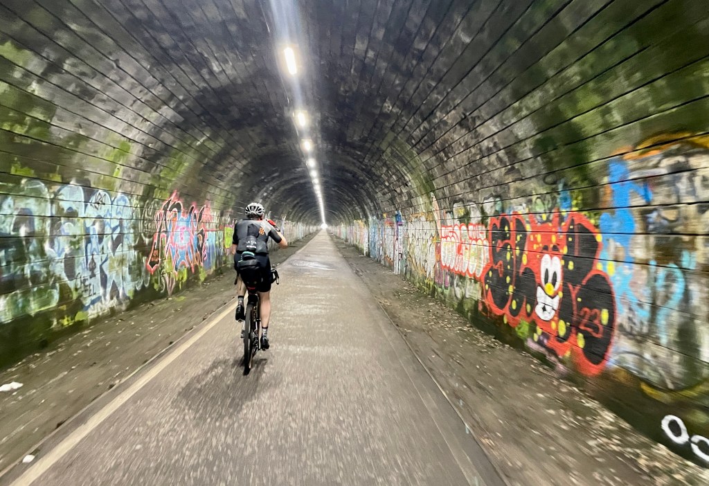
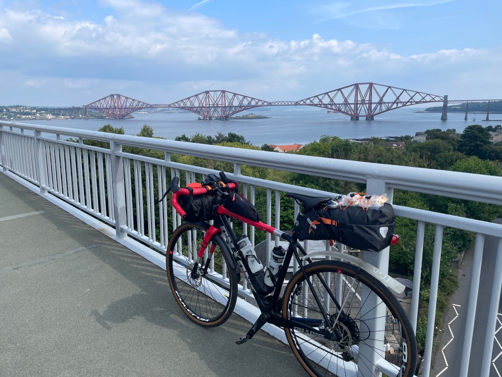
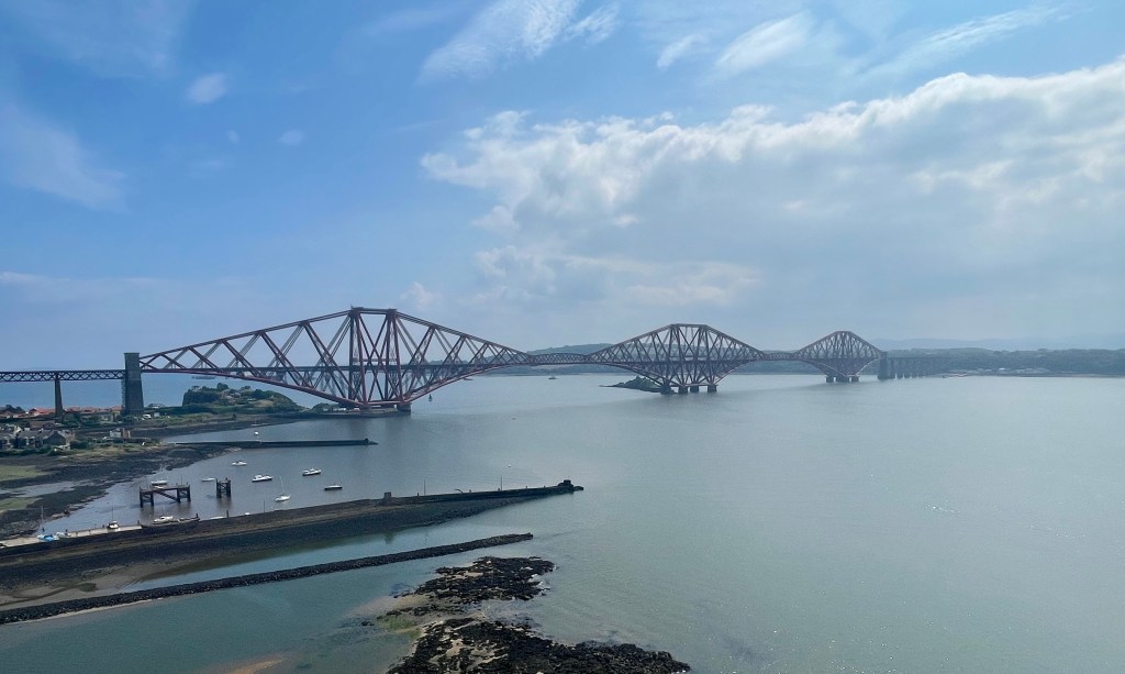
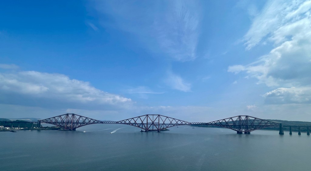
Head north out of Innerleithen alongside the eponymous water and settle into a rhythm for the long climb up into the Moorfoot Hills. Take advantage of access trails for some wind turbines which lead to the summit of the pass at 400 metres above sea level. From here you have a descent of over 13 miles to enjoy all the way to Bonnyrigg on the outskirts of Edinburgh. Riding through the city provides a different type of experience to anything encountered on the journey so far. There is even some off-road riding and a tunnel. It will be slow going, but at least there is opportunity to find more adventurous food than the Tesco meal deal that is likely to have become a staple by this point. After Cramond, you will take the traffic-free trails of NCN route 76 around the coast and towards the iconic Forth Bridge. If you have never seen it before, prepare to be awestruck. You will cross the Firth of Forth yourself on the Forth Road Bridge: no longer open to traffic it is a great location to be on a bike. From here you will head all the way through Dunfermline on traffic-free trails but it is good to get out into more open countryside again as you climb up into the Blairadam Forest. Soon after you will reach Loch Leven where some of the best gravel trails of the trip can be found. From here you will shadow the M90 for much of the way into Perth, and you could make this one of the easiest days of the whole journey if you head straight for the city centre. To add a bit of extra challenge and distance our route climbs over Moncreiffe Hill on forest trails and then follows the majestic River Tay as far as the River Almond, before heading south again to find accommodation for the night.
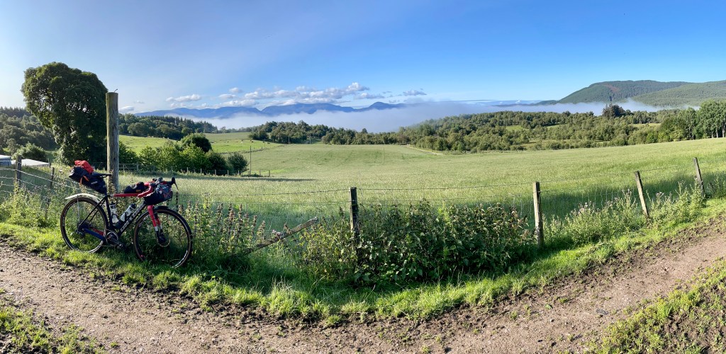
Day 10: Perth to Boat of Garten (171km / 2172m / 35% traffic-free)
https://ridewithgps.com/routes/44270926
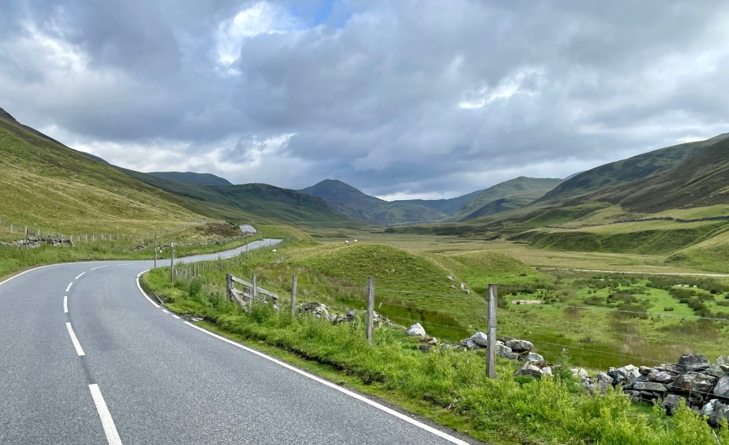
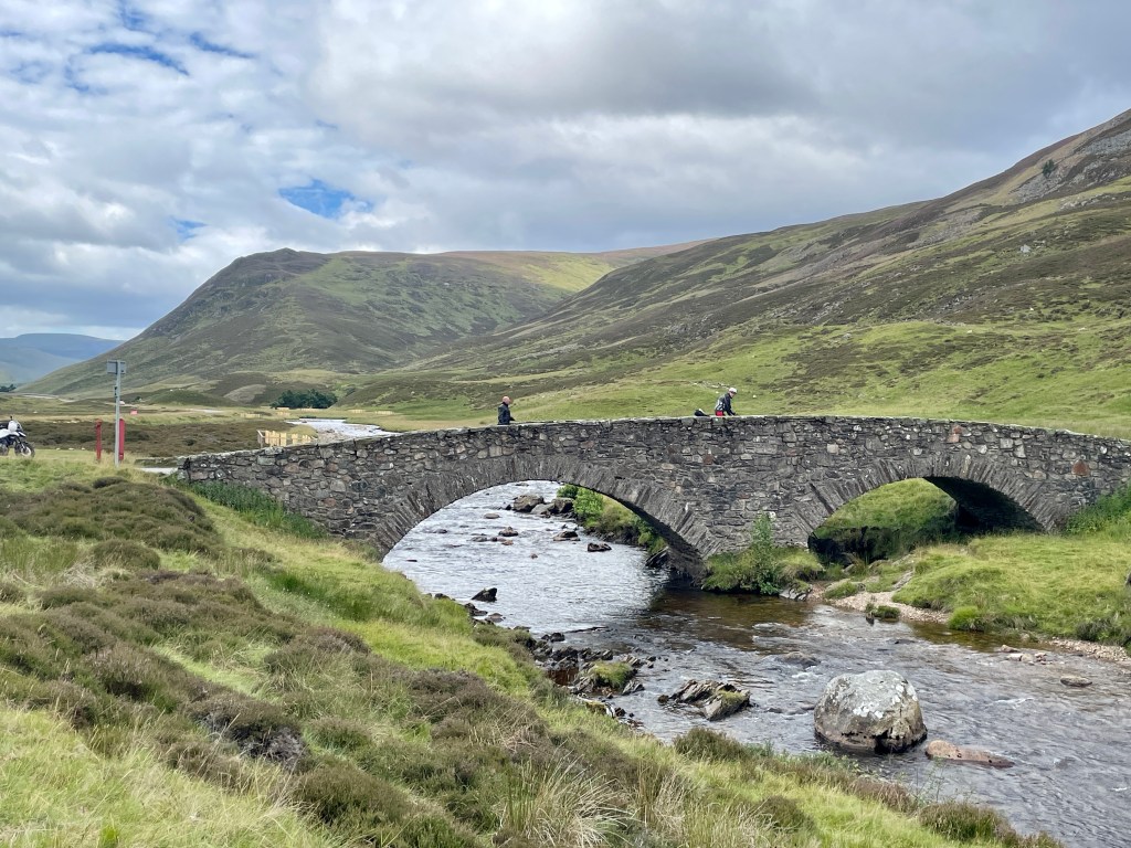
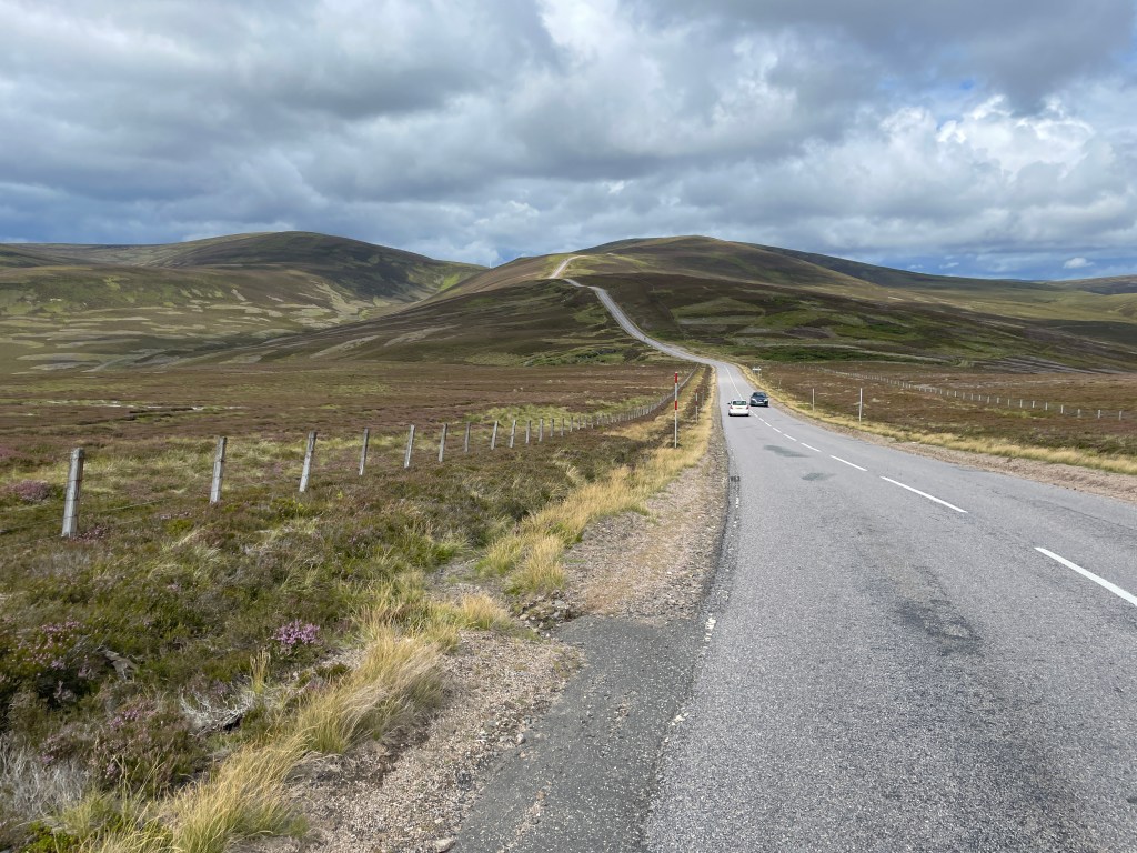
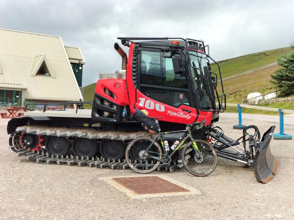
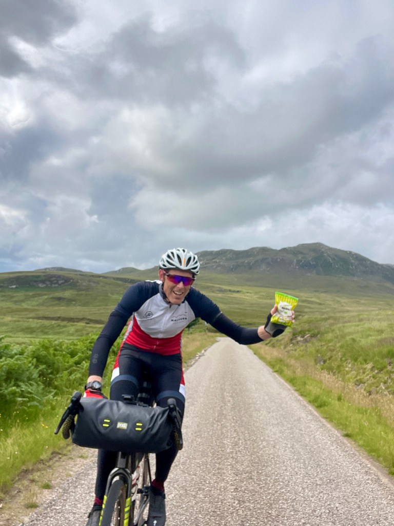
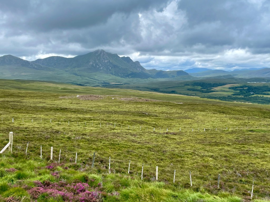
This was a day we had been looking forward to. Straight through the middle of the Cairngorms and over a number of big climbs, including the two highest mountain passes in the UK. It’s obviously a popular destination for other road users: we were overtaken by a convoy of supercars (twice) while ascending The Cairnwell. On any other ride, Crathie Hill and Gairnshiel would have stood out, but they paled into insignificance after reaching the Lecht. We refused to let this monster of a climb beat us, but weighed down with bikepacking bags it was probably the toughest part of our whole journey. However, well before then we had spotted a signpost to Tomintoul not far from Balmoral. It pointed towards a gravel track that wound away between the mountains for as far as we could see. We flirted with the idea of going off our planned route but decided the sensible option was to stick with what we had researched. Since our return we have seen it described as the best gravel track in Scotland. So … we felt there was no option but to update the route …
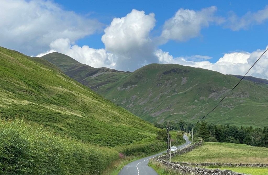
The start of the day will fly by on easy roads to Blairgowrie. From here it is 25 miles of steady uphill as you ride up Glen Shee and into the Cairngorms National Park. The scenery becomes increasingly dramatic once you pass the Spittal of Glenshee and The Cairnwell lies ahead of you. At 670 metres above sea level this is not the highest tarmac to be found in the UK, but it is the highest pass – and it feels it when you finally reach the top. The huge descent to Braemar is payback for your efforts (unless you have a raging headwind as we did), and from here eleven miles of gravel trails through the forest lead you to the chance of a royal encounter at Balmoral. With the imposing Lochnagar behind you, start the ascent of Crathie Hill. If you like the idea of the ‘best gravel trail in Scotland’, look out for the Tomintoul signpost on your left after a couple of miles. Follow the River Gairn as far as Loch Builg, where the terrain becomes rougher for a while. Riding north you will join Glen Avon, which has been described as the most perfect Glen of them all, before arriving in Tomintoul after seventeen stunning miles of off-road riding. You’re not done for the day yet though: take the A939 out of the village and tackle one last climb at Bridge of Brown. Although it adds a few more miles than needed, stay with the main road until Speybridge. By doing so you can pick up the Speyside Way for ten more miles of gravel through the Abernethy Forest before reaching Boat of Garten.
This is wild and remote country. For 100 kilometres you are more than 300 metres above sea level. This far north, there is the potential for the weather to ruin this day. The bad weather option is to take NCN route 7 all the way around the west of the mountains. It’s shorter and much less hilly: https://ridewithgps.com/routes/43250437
Day 11: Boat of Garten to The Crask Inn (169km / 1773m / 34% traffic-free)
https://ridewithgps.com/routes/44286062
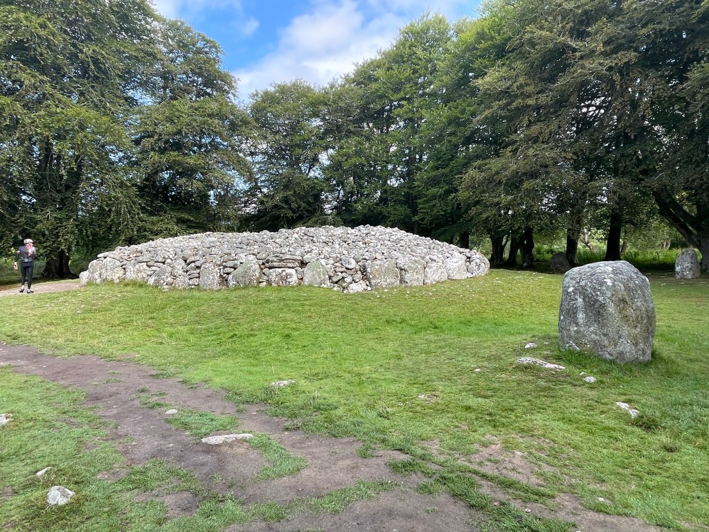
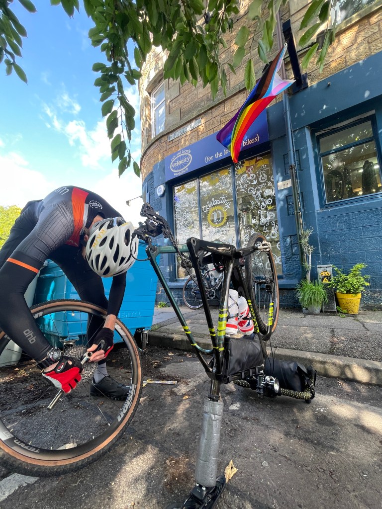

It was 2°C as we left Boat of Garten in thick fog. Just one mile later we were climbing up the track to Docharn and emerged above the cloud. With blue skies now above us, we looked back to see a cloud inversion surrounding the Cairngorm Mountains. It was a genuinely uplifting way to start the morning and a sign of things to come – unbroken sunshine and the first day with no rain at all. Due to the quick progress in the first 30 miles we engaged in some sightseeing at Clava Cairns – huge Bronze Age constructions – just before Inverness. Once in the city, Velocity Café and Bike Workshop provided us with specialist tools, coffee and an excellent burrito – all of which felt like a necessity by this point as we were about to head into increasingly wild and isolated countryside.
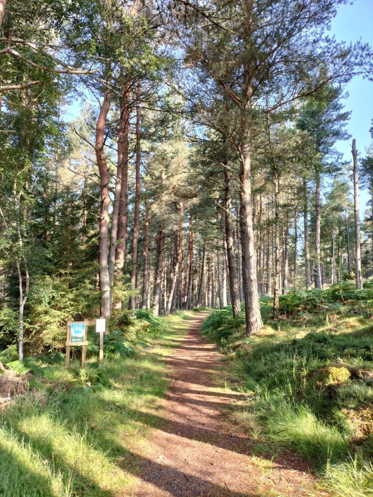
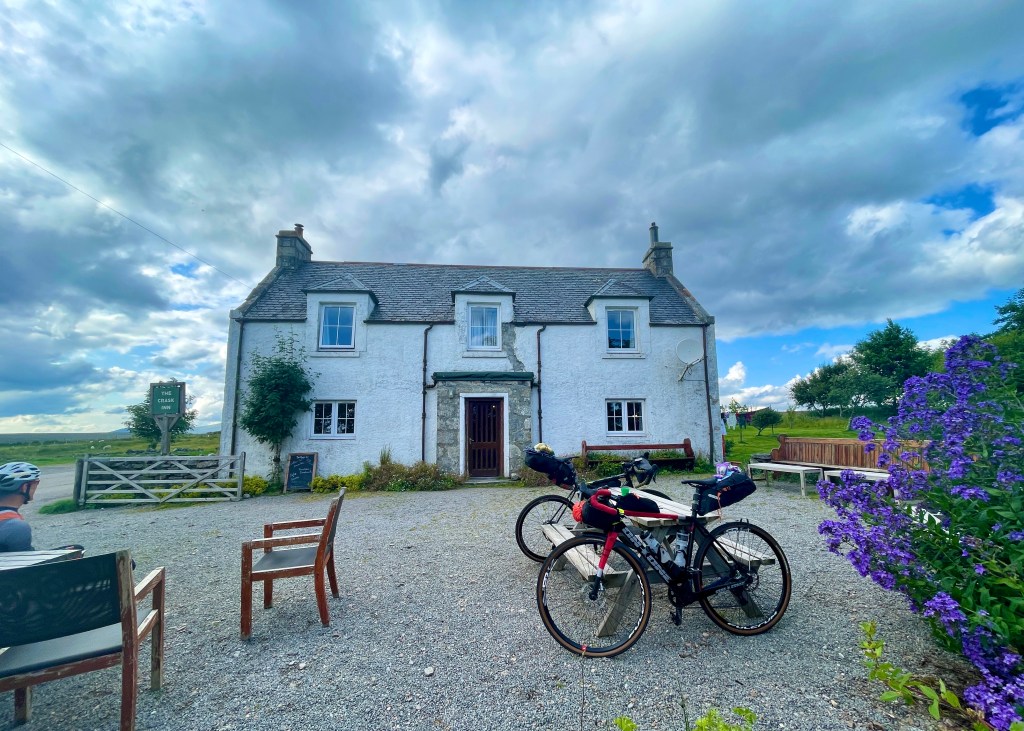
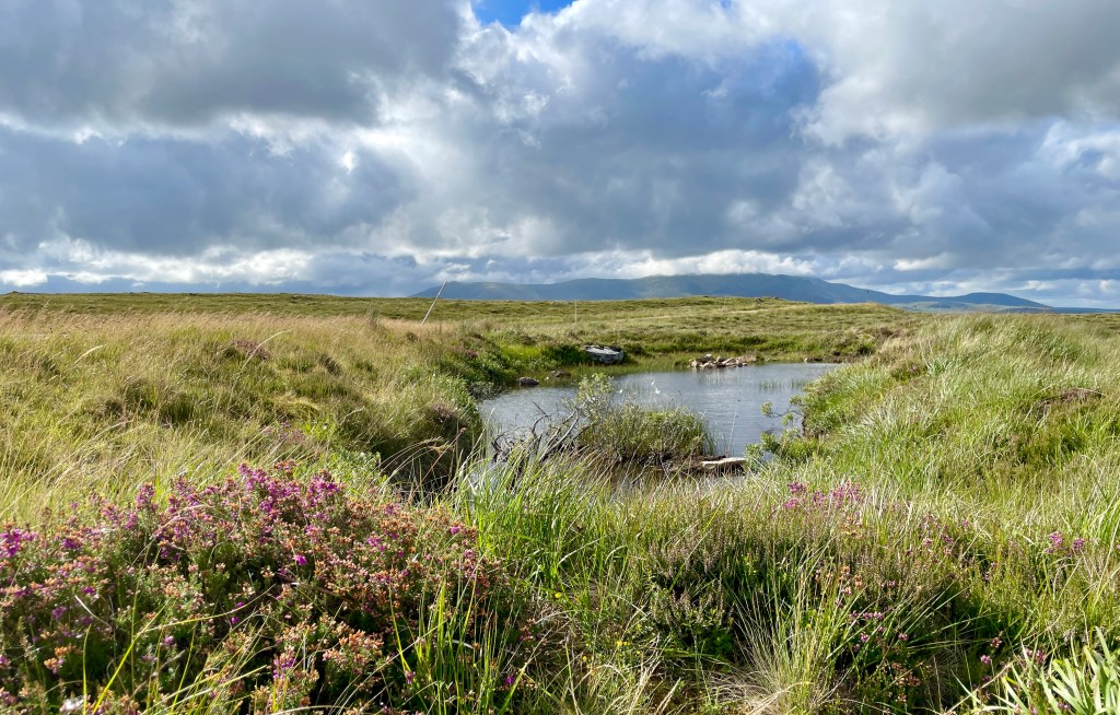
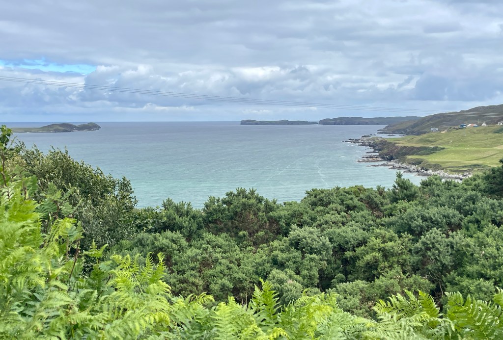
Much of the first ten miles is on fantastic trails through forest either side of Carrbridge. Follow the broken remnants of the original A9 as you pass over Slochd Summit and descend to Tomatin. Gravel trails are in shorter supply by now, so take advantage of an optional loop around Loch Moy unless time is against you. NCN routes 7 and 1 take you the long way round into Inverness past Clava Cairns. Having crossed the Kessock Bridge and then the Black Isle, a lovely stretch north of the Cromarty Firth leads to the higher ground of Easter Ross. Five miles of off-road trails through Strath Rory are well worth including, but bear in mind the river crossing at the bottom of the valley. Wet feet are a real possibility here so if the river levels are high the safe option is to stick to the B9176. Either way, on leaving the forest you’ll find yourself on open road with the distinctive Struie Hill to the right. Stop for a while at the spectacular Cadha Mōr viewpoint over the Kyle of Sutherland. If the visibility is good you may spot Ben Klibreck in the distance – a marker of how far there is yet to go. When you can tear yourself away, descend almost to the shoreline. Stay to the west of the Kyle as far as the Shin Railway Viaduct. Although the steps down are a bit awkward, the much newer footbridge bolted to the side of it forms part of NCN route 1. Carbisdale Castle is above you to the left as you head north briefly on the A836 and then A837. A final section of optional off-road follows trails through the Shin Forest before rejoining the tarmac before Lairg. The singletrack road from here on leads you to the middle of nowhere. And in the middle of nowhere you will find The Crask Inn – possibly the most isolated inn on the mainland* – your stopping point for the night, if you’ve booked early.
(* if you count The Old Forge on Knoydart as a ‘pub’)
Day 12: The Crask Inn to John o’ Groats (170km / 1461m / 17% traffic-free – but you will hardly see any traffic!)
https://ridewithgps.com/routes/44347567

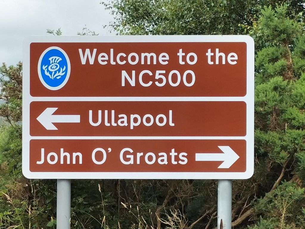
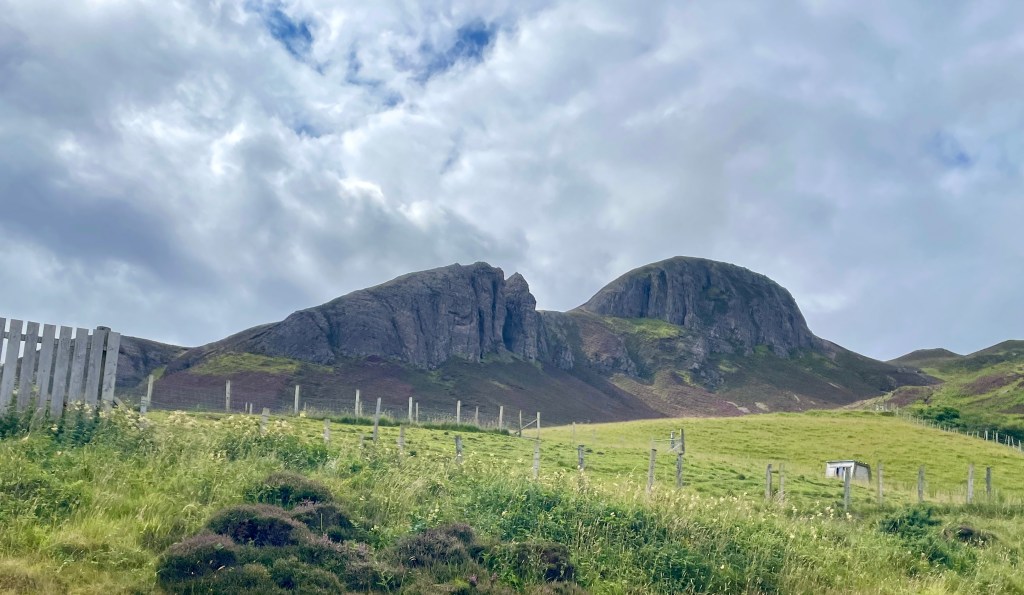
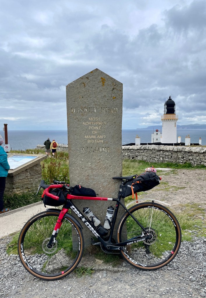
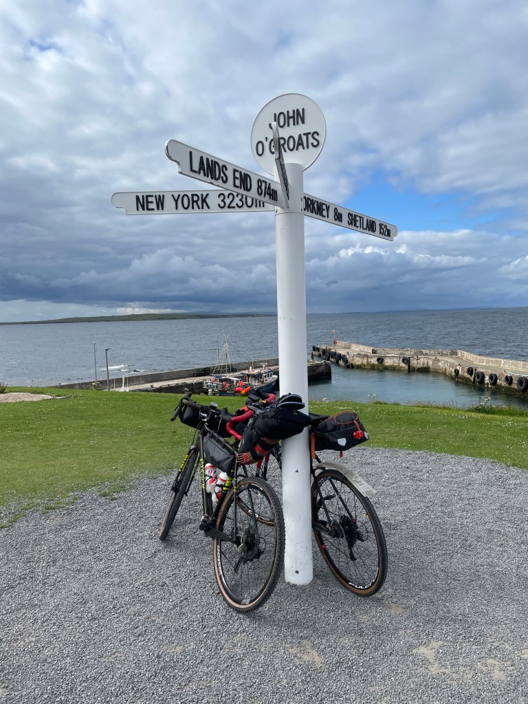
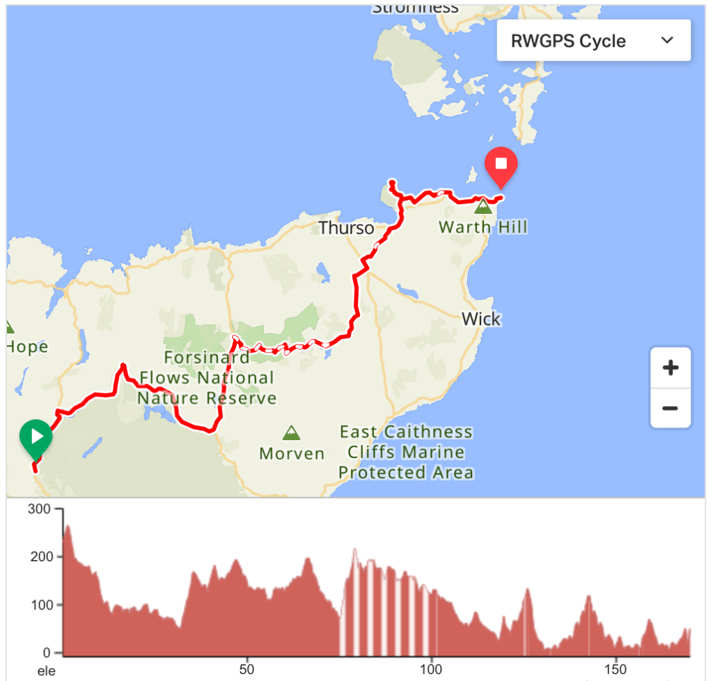
In truth, the last day was something of an anti-climax for us. Not because it was the end of the journey, but more to do with a relentless headwind that sapped our energy from the very start. The road around Ben Loyal and as far as Tongue was spectacular, but the final 70 miles was mostly a battle against the wind and relentless ups and downs. Our diversion to Dunnet Head – the most northerly point on the mainland – was a highlight though, and felt more momentous than John o’ Groats itself. By the time we reached the famous signpost we did not even have the enthusiasm to ride the extra two miles along to Duncansby Head – the true end of the road. We will have to go back! And if we do, at Altanharra we will ride the alternative described here …
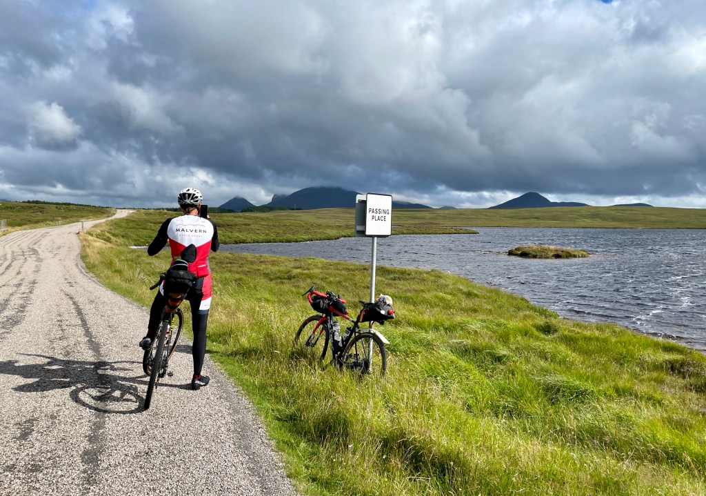
It may be a challenge to acquire a GPS signal at The Crask, but you can’t really go wrong. Just keep riding along the road you arrived on yesterday. Altnaharra – tied with Braemar – is the site of the coldest temperature ever recorded in Britain (-27.2°C) and there is not much else of note there other than the junction where you turn right alongside Loch Naver. This lovely road trends downhill for 10 miles to Syre. By far the quickest option would be to go straight on at this point and pick up the coast road, but our route seeks out some final off-road opportunities by climbing up and over the Badanloch Forest and even heading south for a while. At Kinbrace, you turn back to the north and ride as far as the remote gravel trail winding its way out into the Forsinard Flows National Nature Reserve. Insect repellent may be wise here! After ten miles of blanket peat bog and conifer trees you will pass the comically remote Altnabreac Station and wonder why it was ever built. It’s nearly as far again to find the nearest tarmac, after which you follow quiet roads and the occasional track all the way to Castletown on the coast. The diversion off the obvious route to climb up to Dunnet Head is well worthwhile. Not only will you have the satisfaction of reaching one of the cardinal points of mainland Britain, but if the visibility is good you will see clearly across to the Orkneys and even the Old Man of Hoy. Descend from here and stick to the coast, eking out one final kilometre of gravel riding, before riding into John o’ Groats with the most incredible sense of satisfaction and smugness. If you still have the reserves of energy, the out-and-back to Duncansby Head will mean you have reached the very end of the road.
Note that you have plenty of alternatives on this final day, all of which are considerably shorter than 170km (which includes Duncansby Head):
- As mentioned above, you could ride towards the coast directly after Loch Naver.
- The route above, but excluding Dunnet Head, is 18km shorter: https://ridewithgps.com/routes/43293885
- Our initial route can be found here: https://ridewithgps.com/routes/41773020
- If you are comfortable with the idea of hike-a-bike for a few kilometres first, this route via Loch Choire would be the best (and shortest) of them all: https://ridewithgps.com/routes/43293757
